
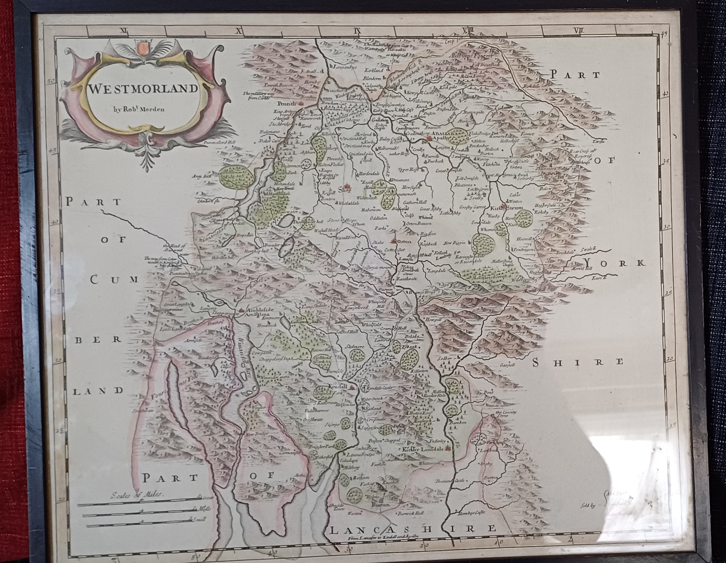
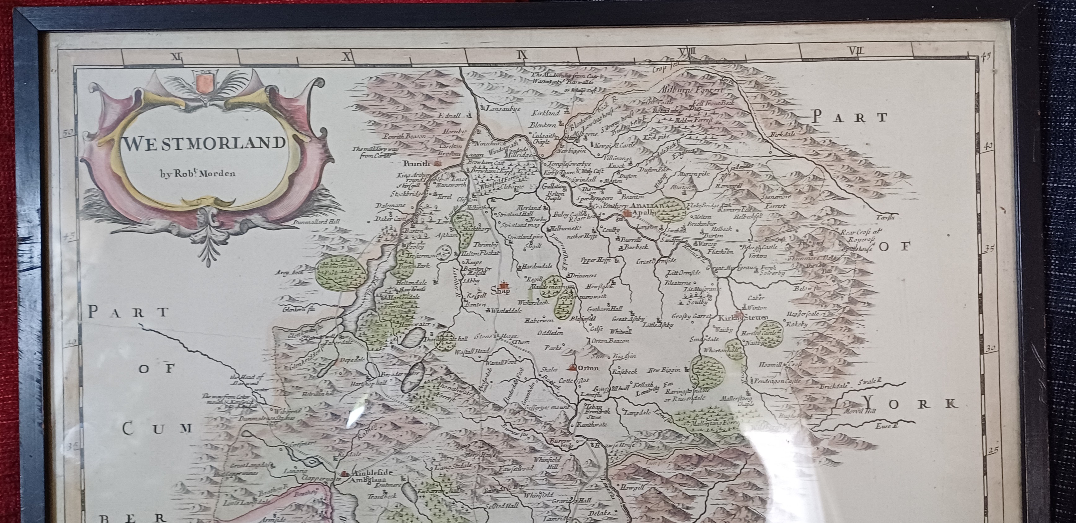
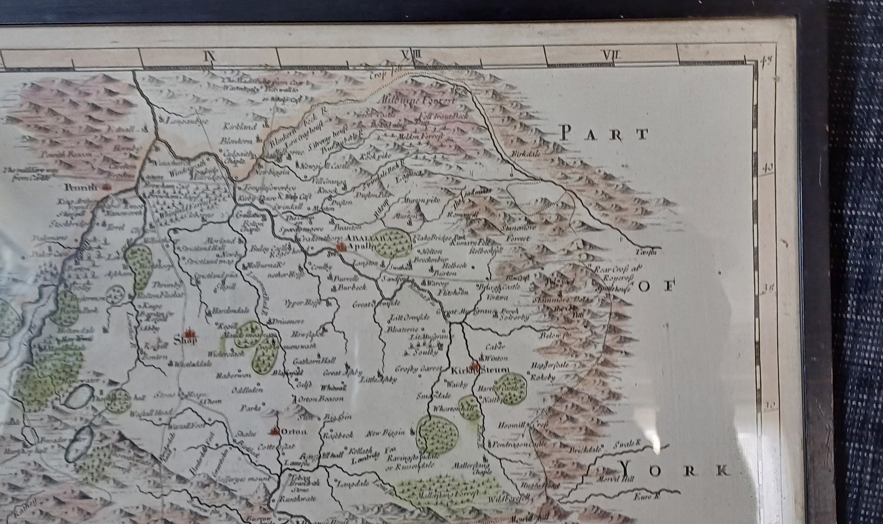
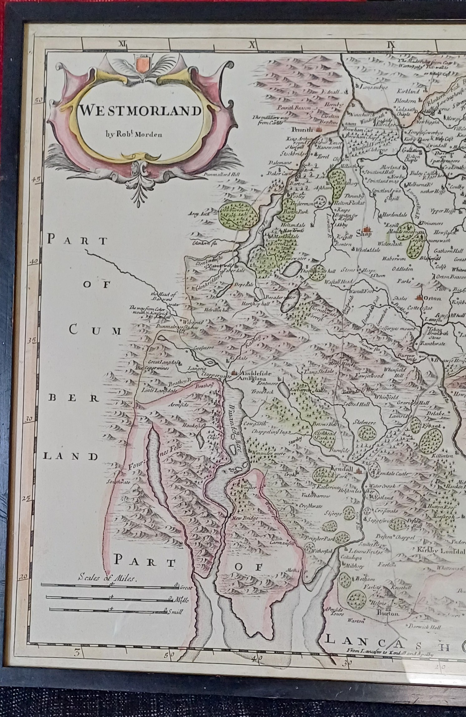
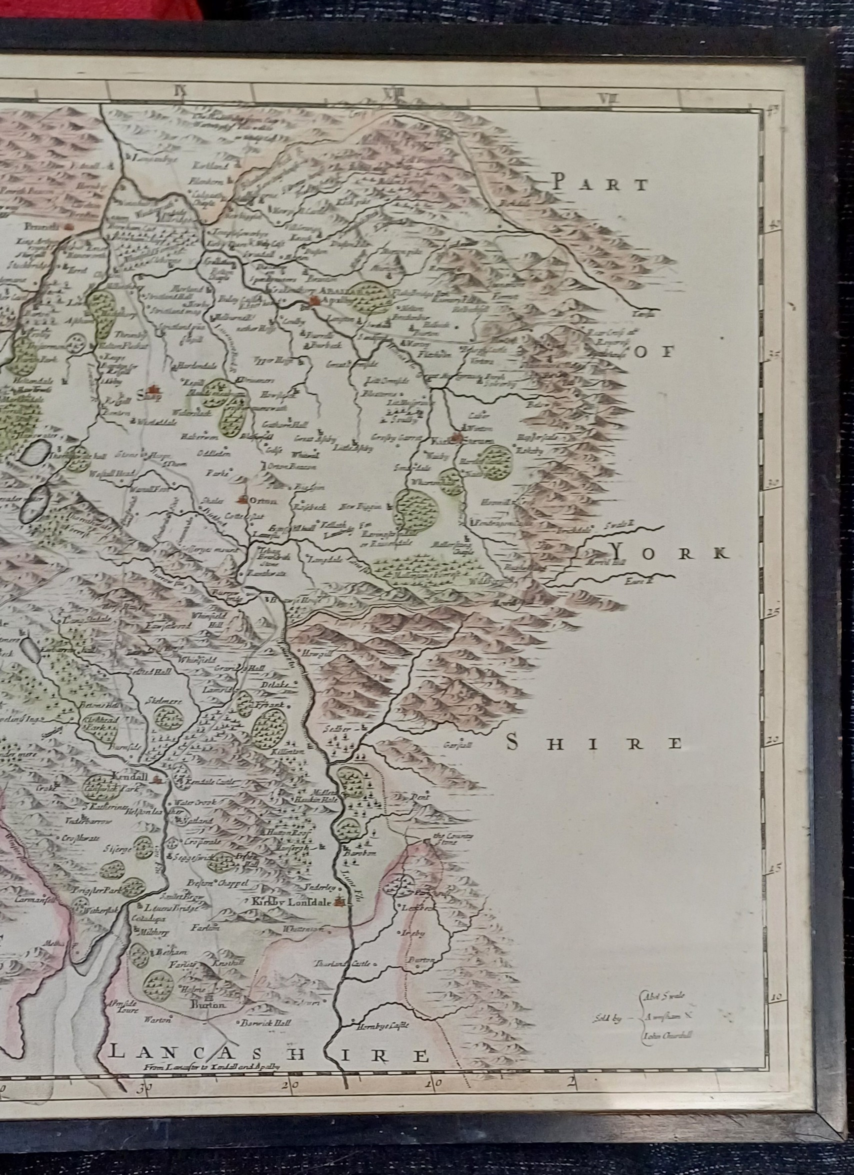
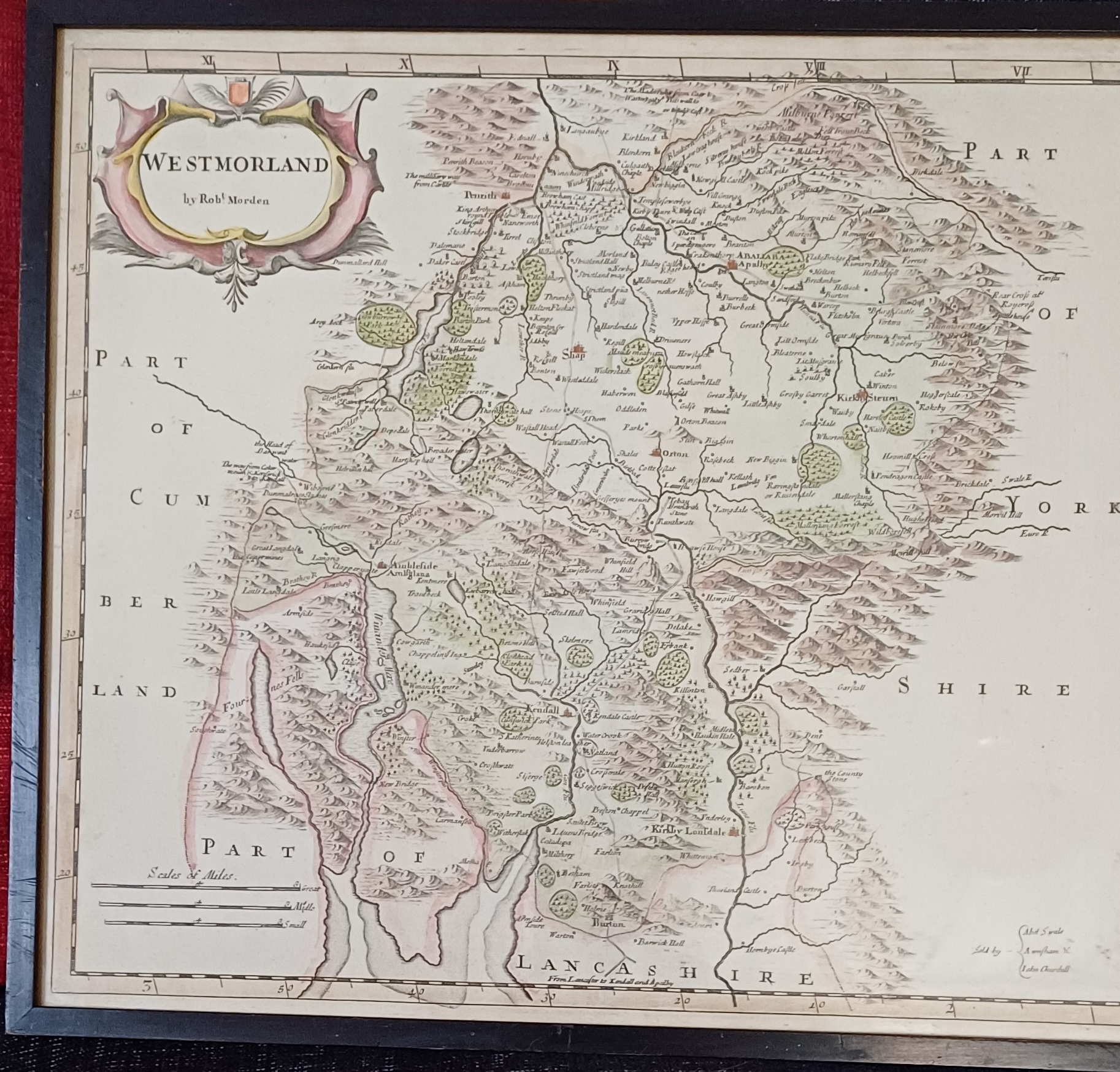
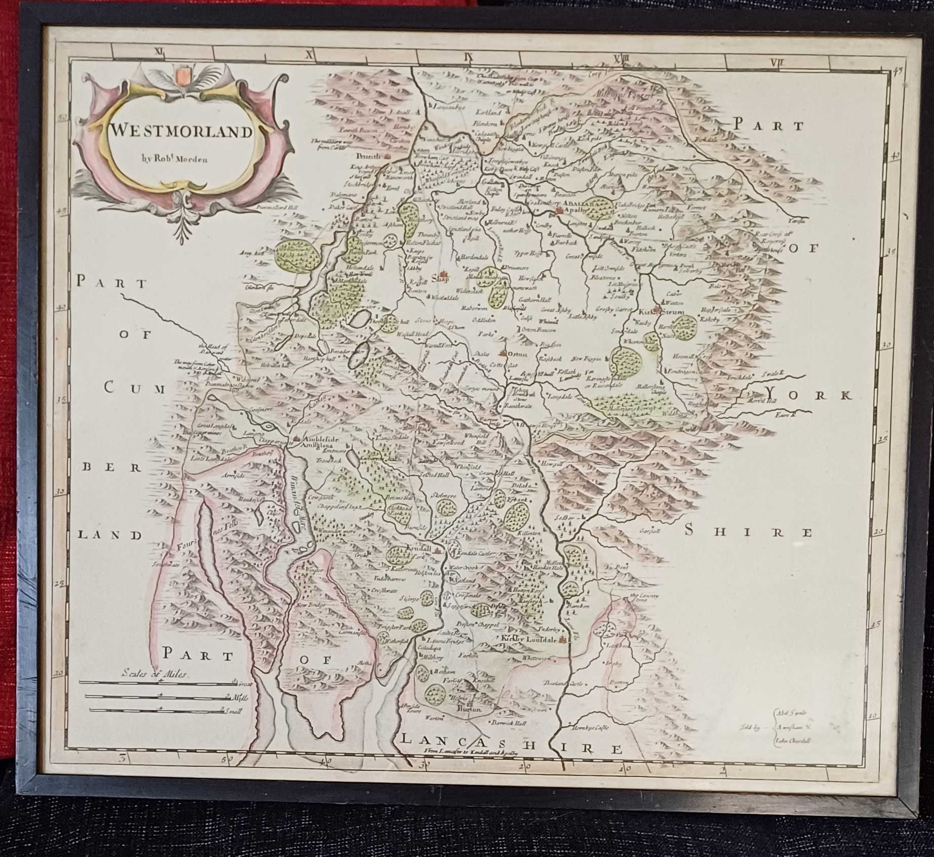
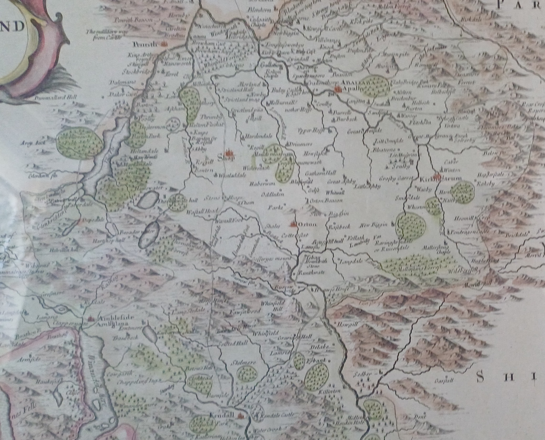
Map of Westmorland, by Robert Morden, early 18th century
£135.00
1 item in stock
The add to cart button will appear once you select the values above
This item has been viewed 1011 times
Antique Map of Westmorland, by Rob't Morden, early 18th century
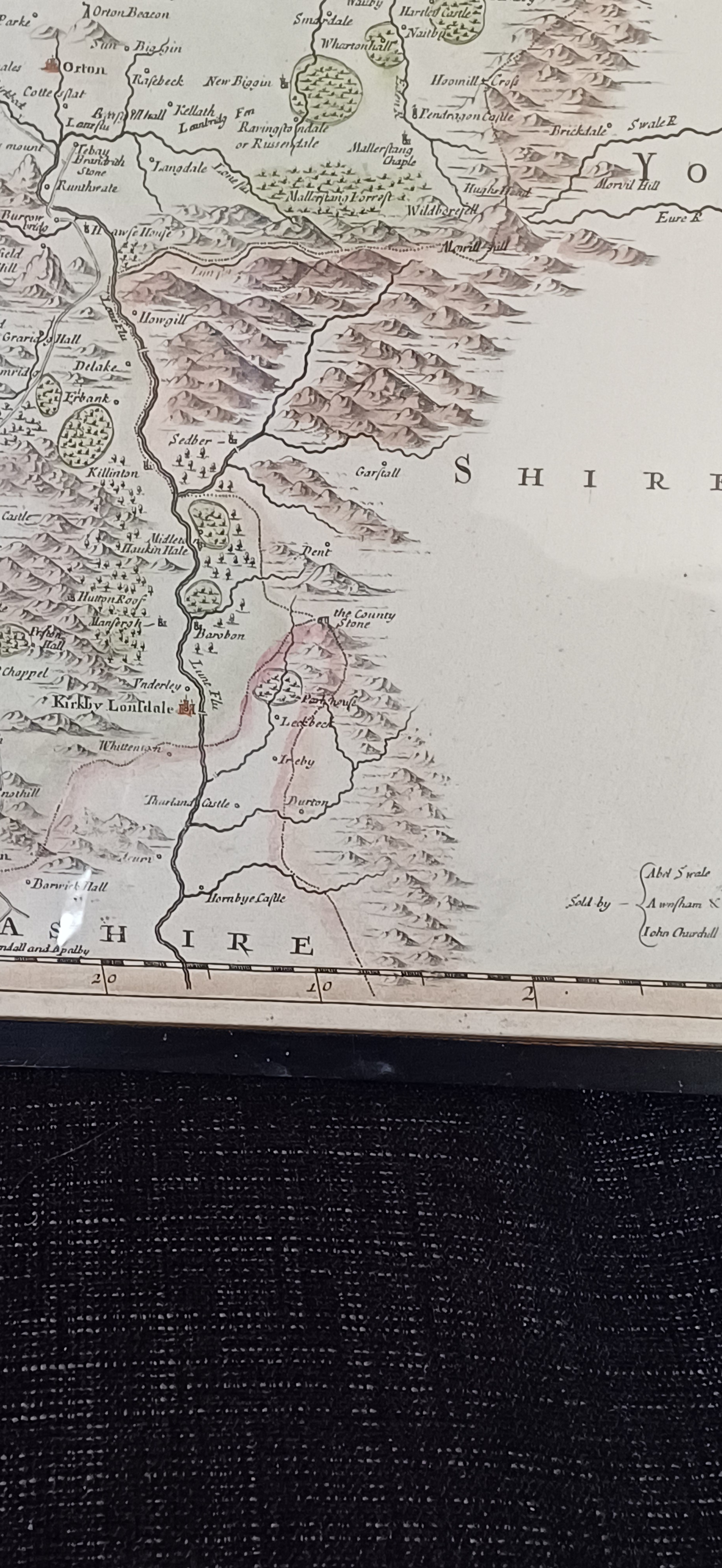
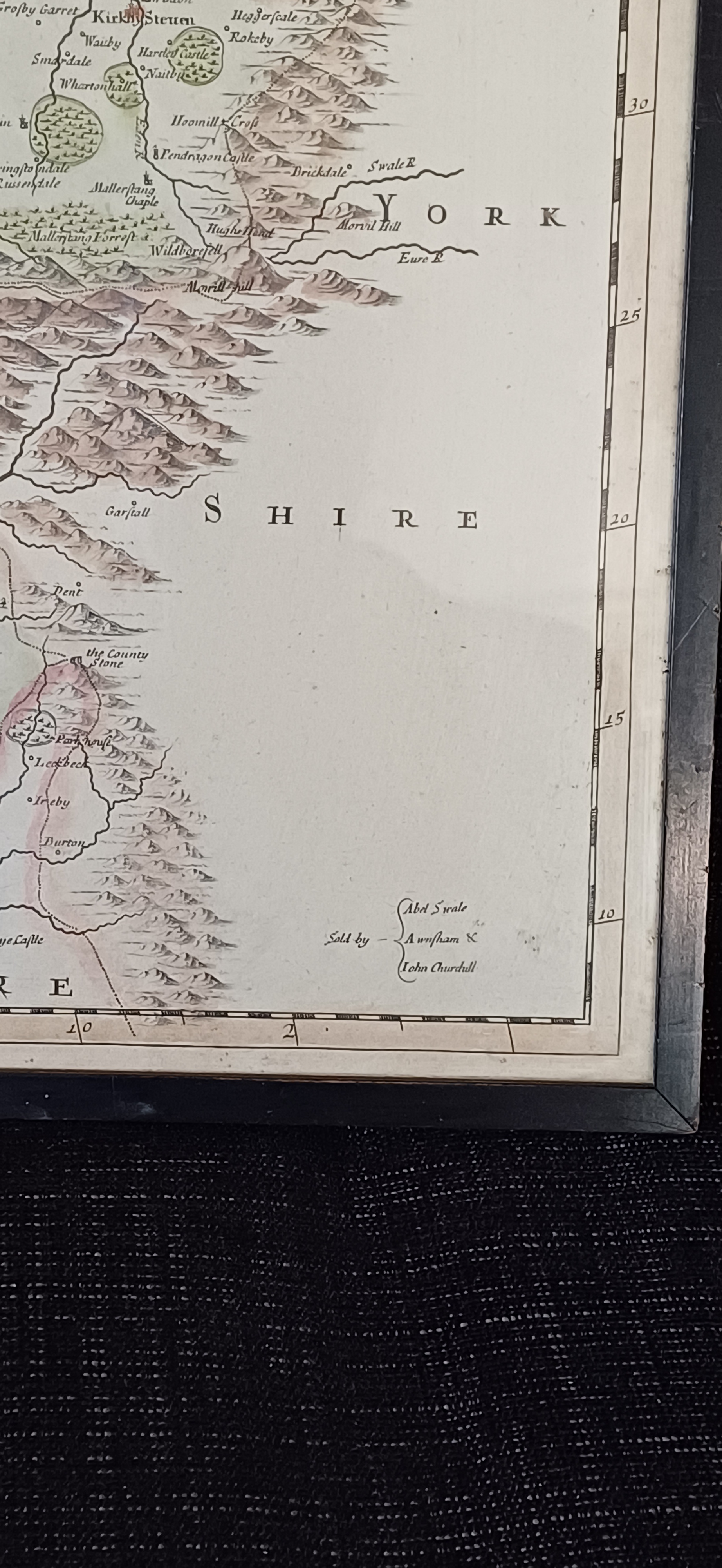
Sold by Abel Swale, A Wnfham & John Churchill
Description: 18th century map of the county of Westmorland by Robert Morden. Also name places include Kirby Lonsdale, Ambleside, Windermere, Kendall.
Still bright and excellent condition.
Map Size approx14 x 16.1/2. inches. Frame and glazed size 18 ¼ by 15 ¾ inches
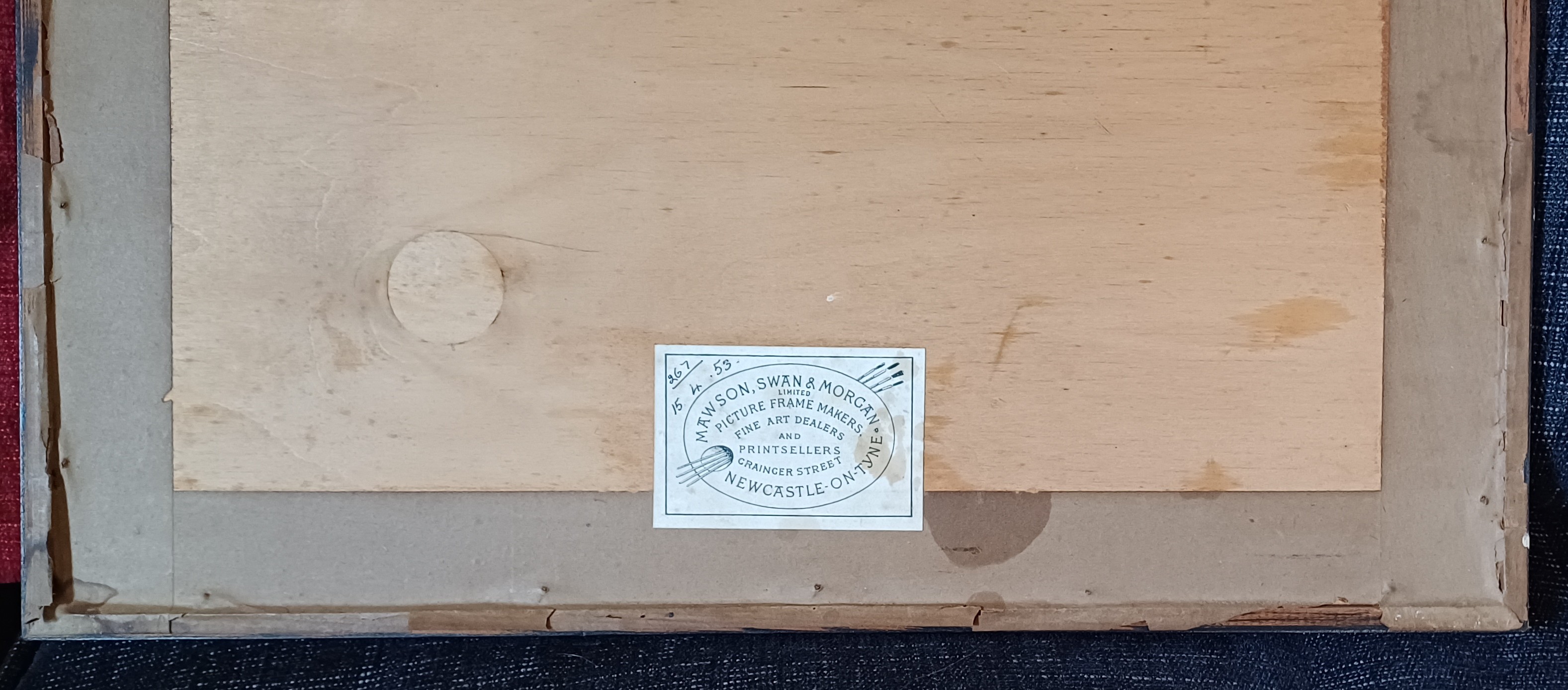
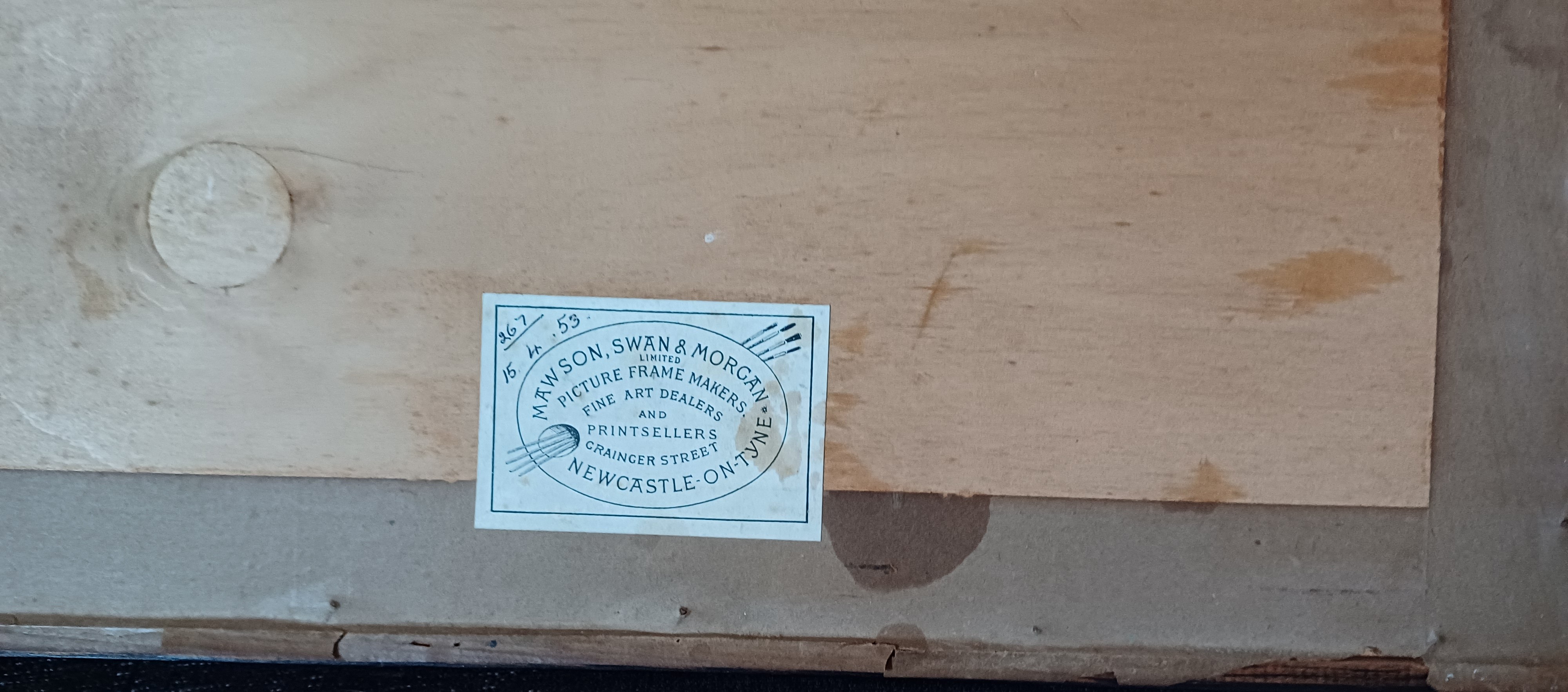
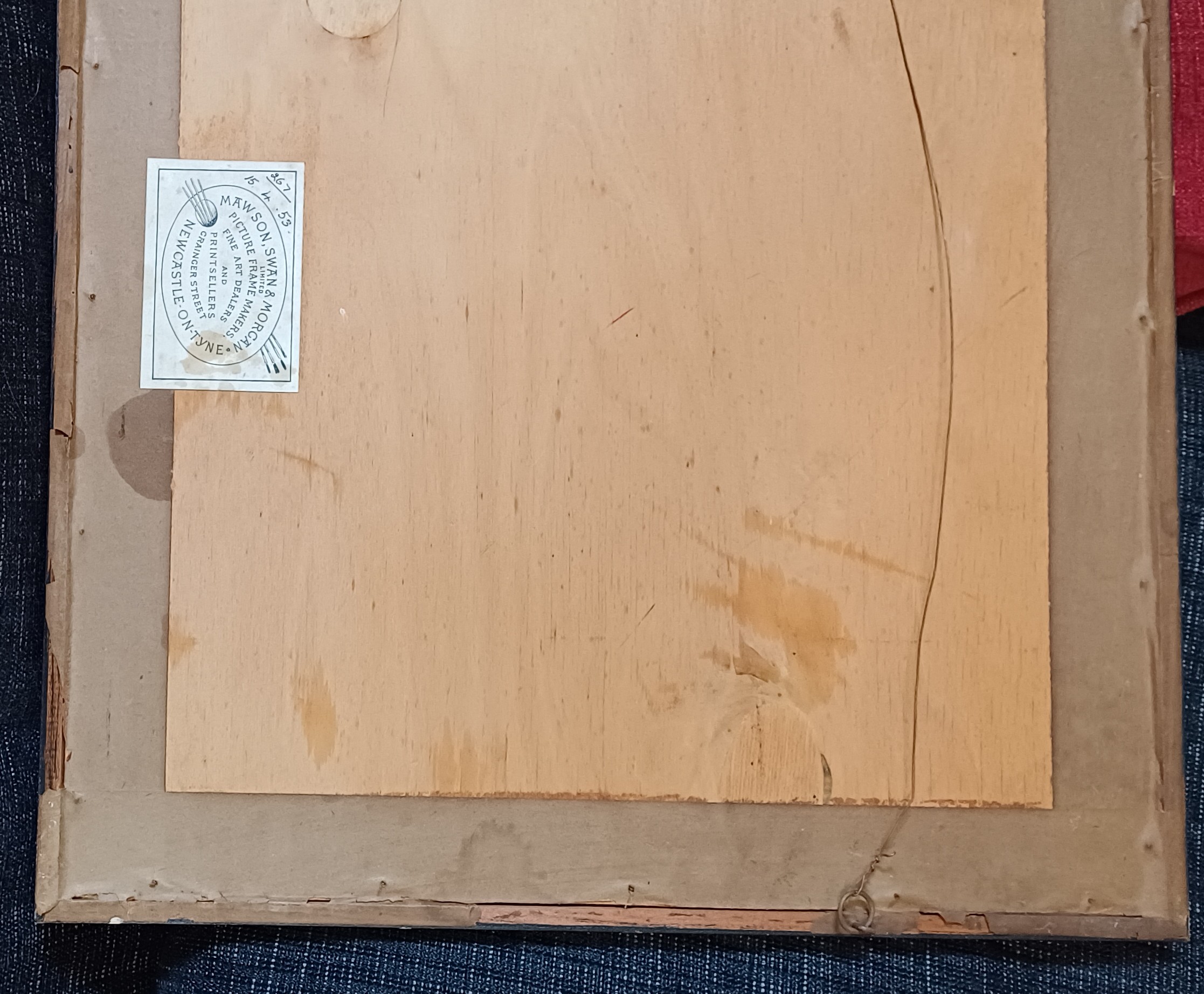
Old original framing label to reverse dated 15th April 1953
Price £135.00 inclusive of shipping to within the UK