
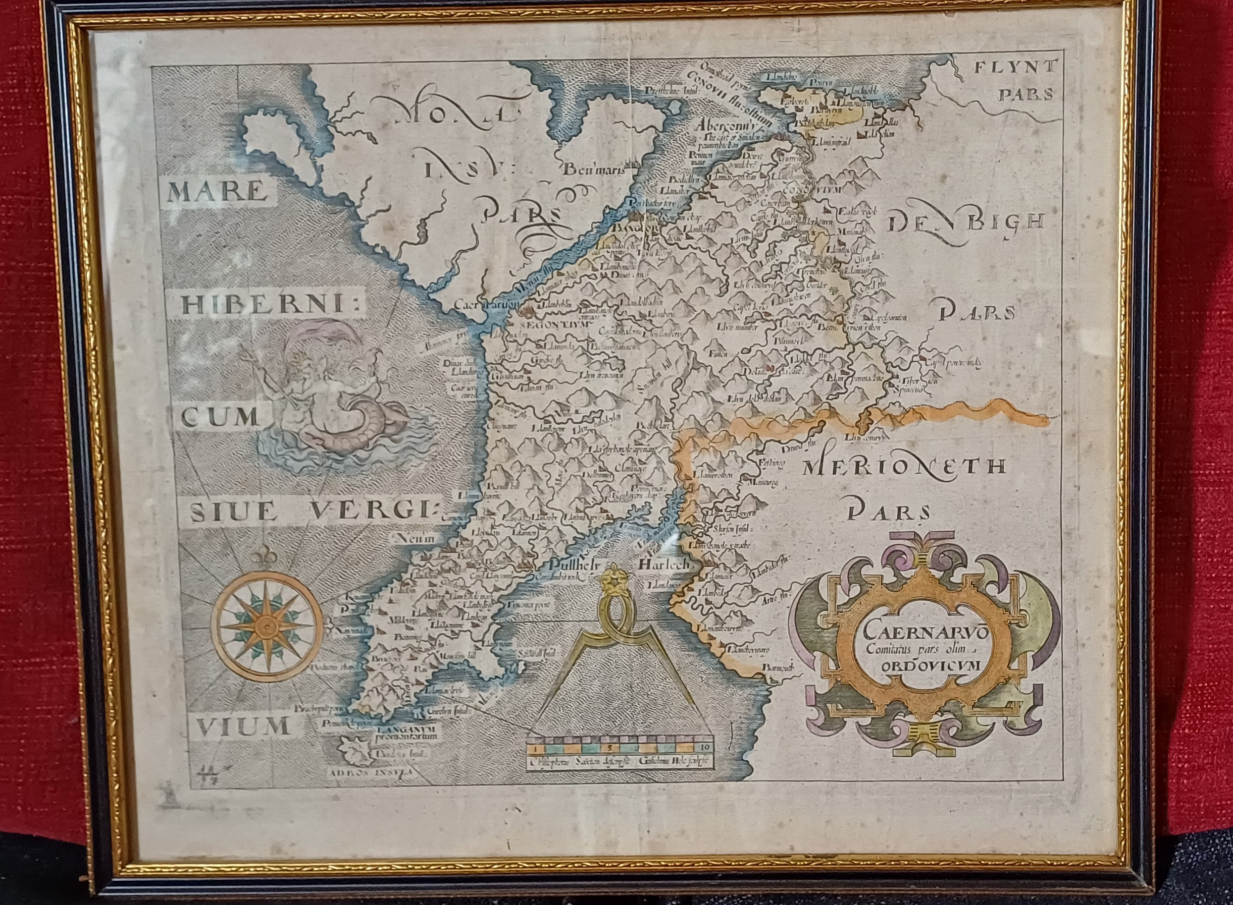
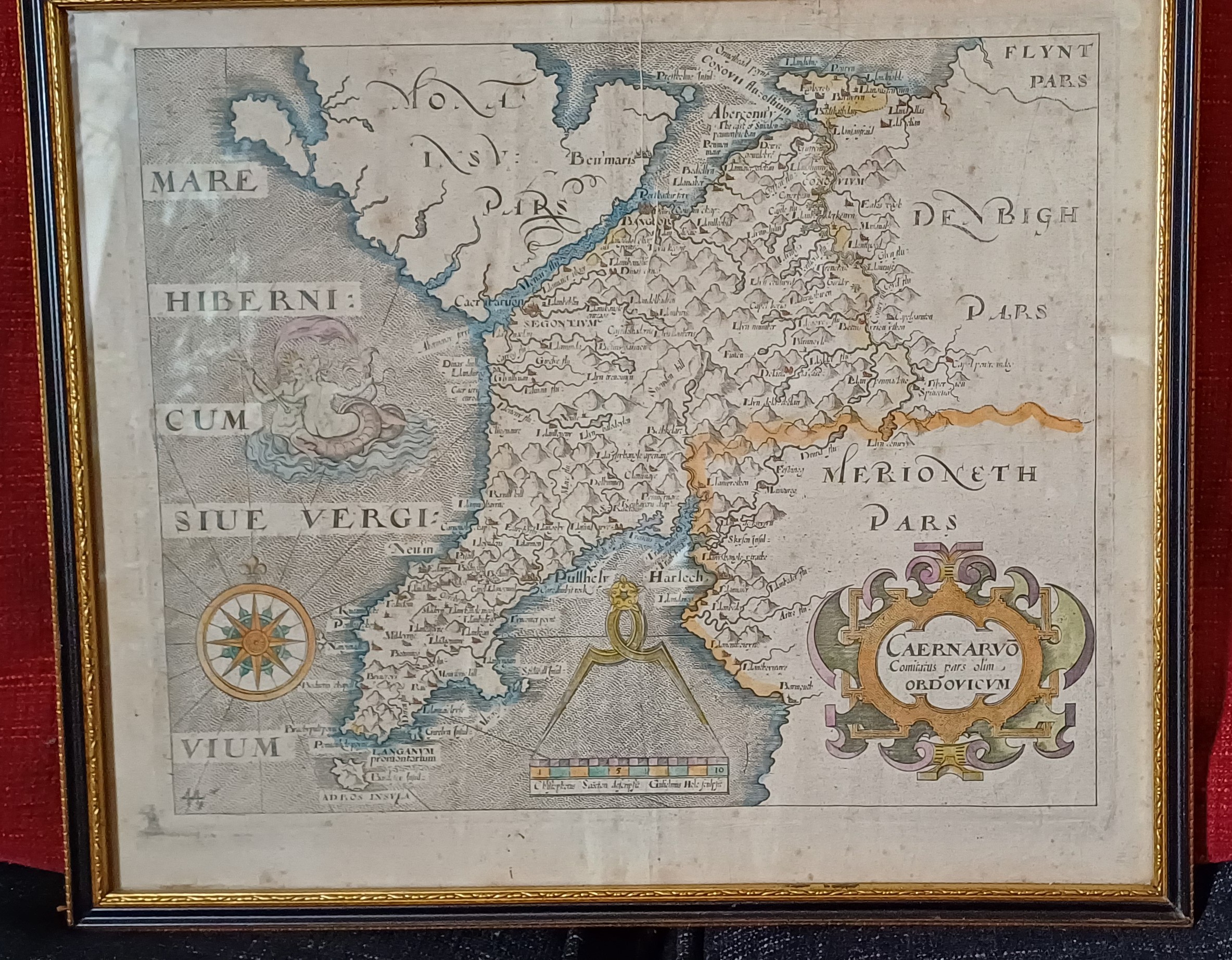
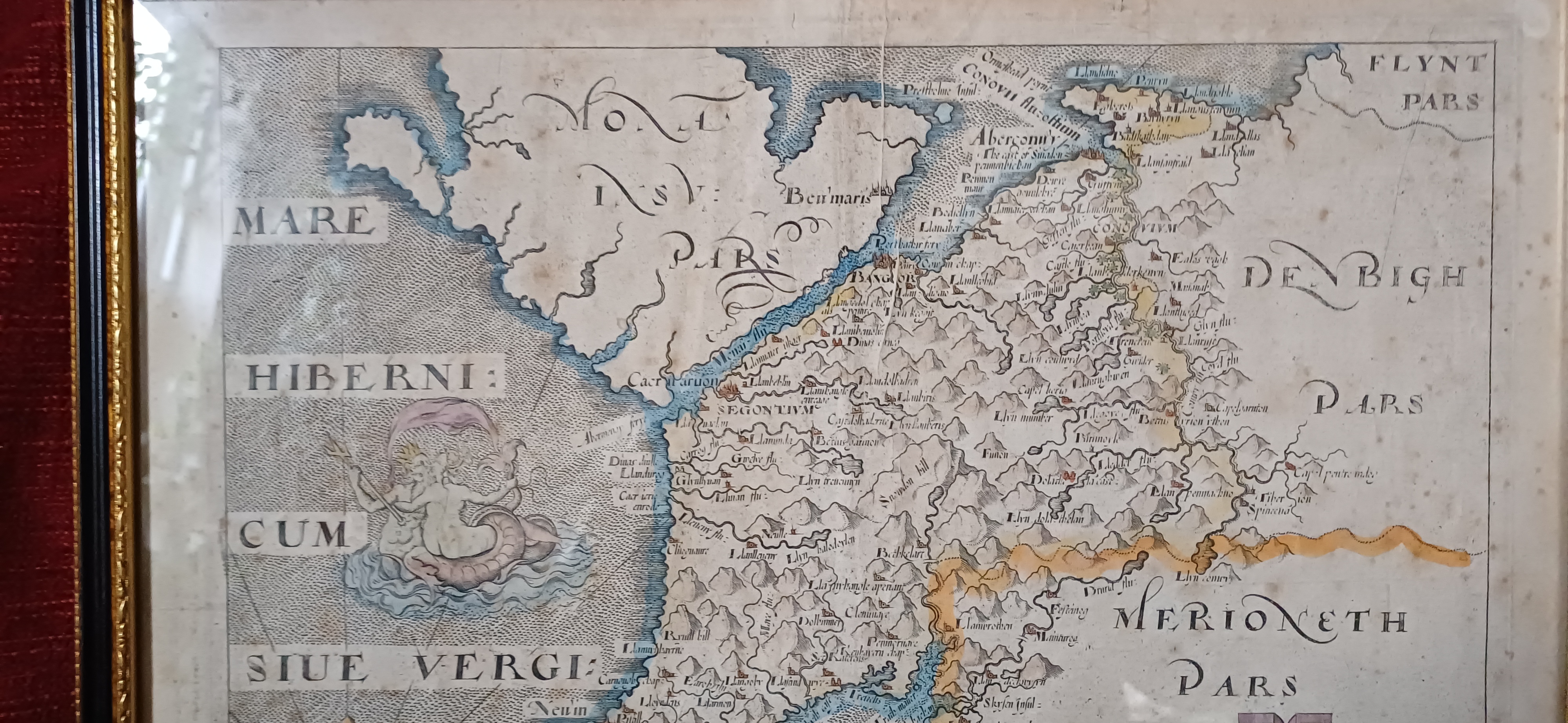
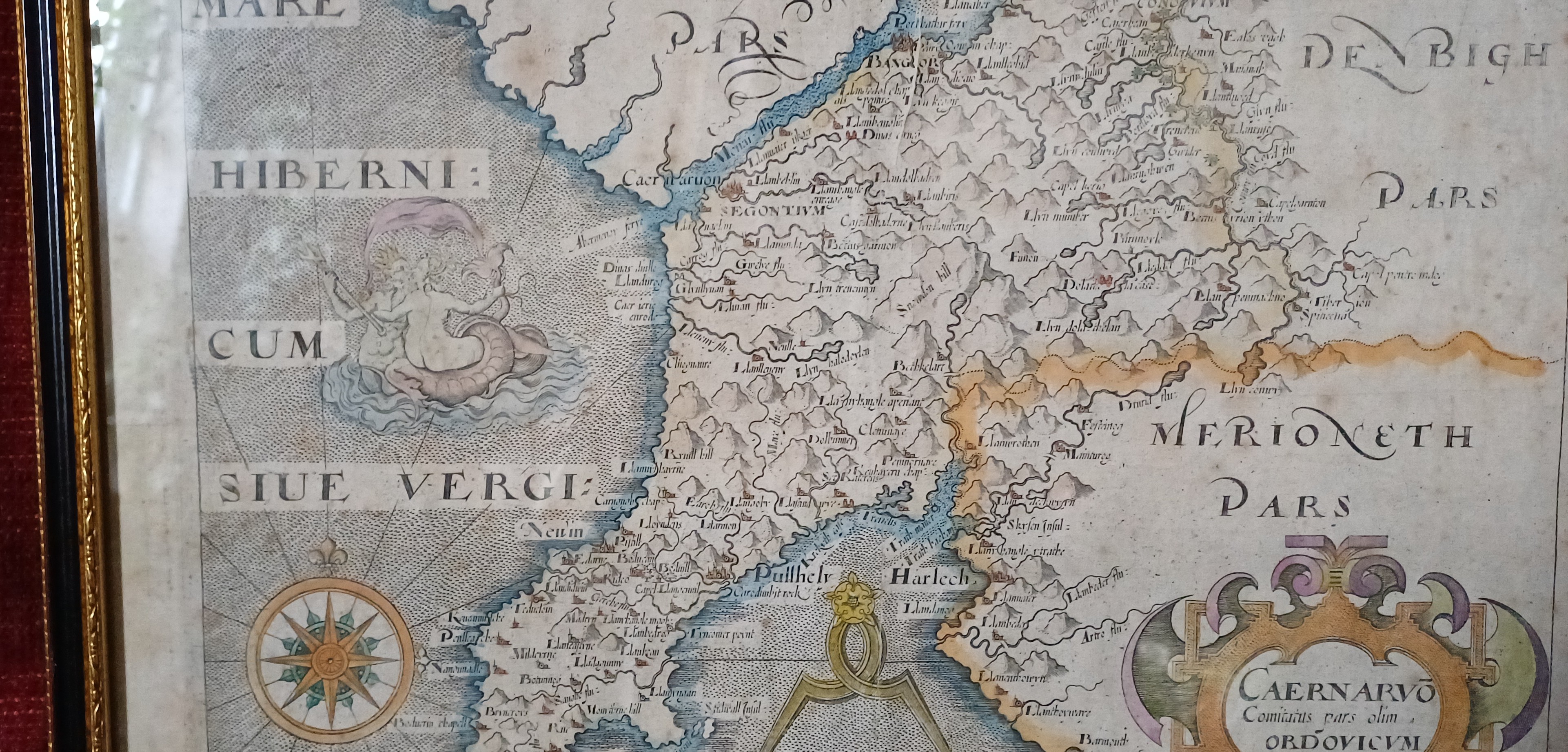
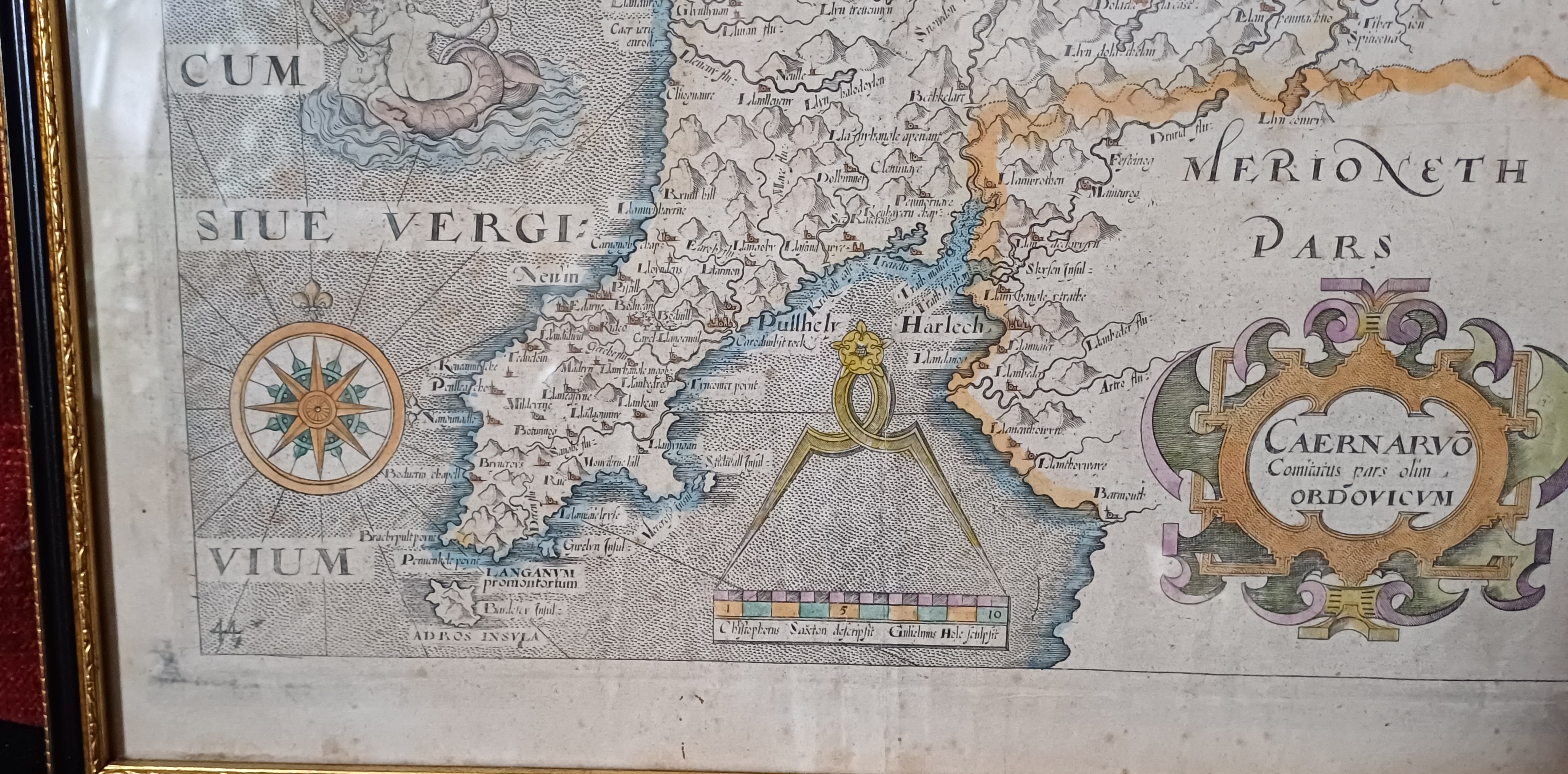
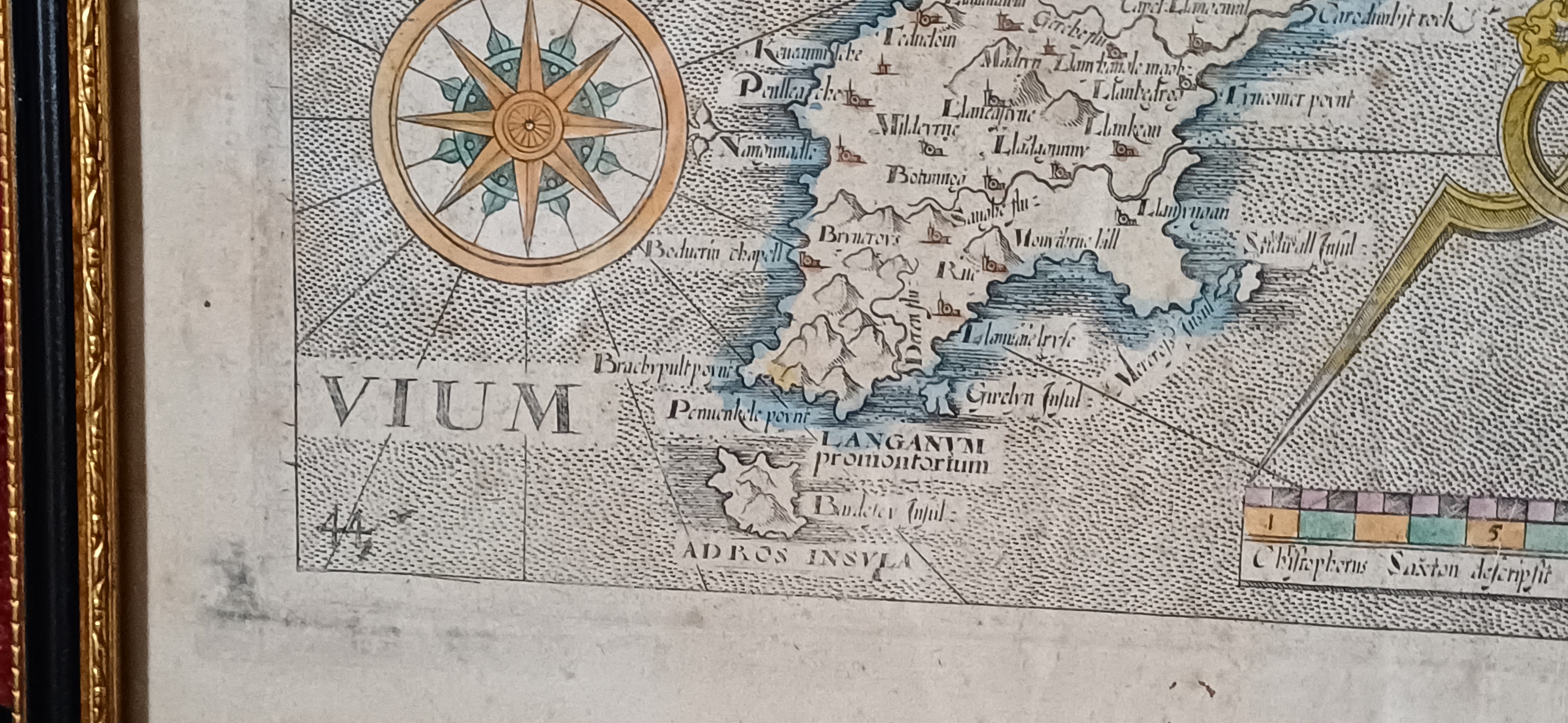
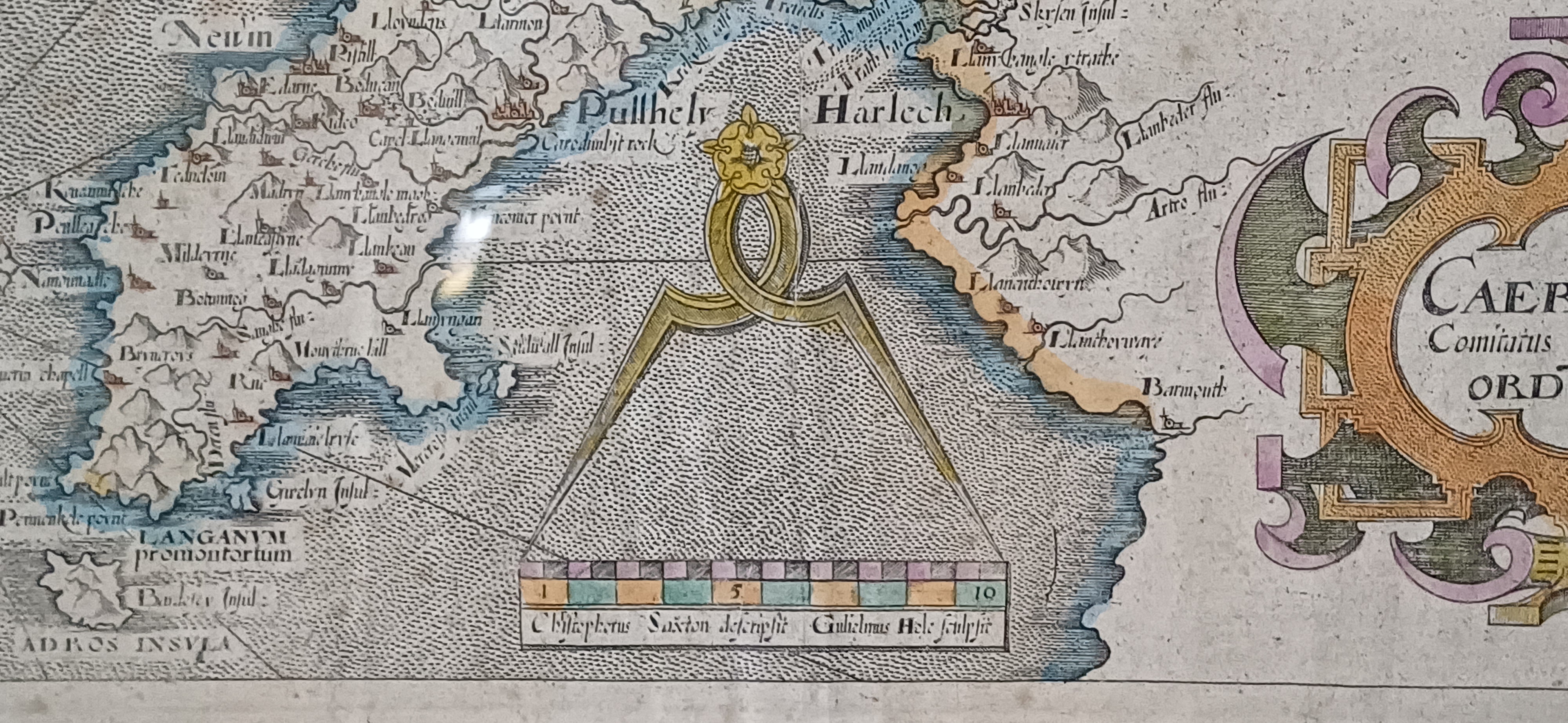
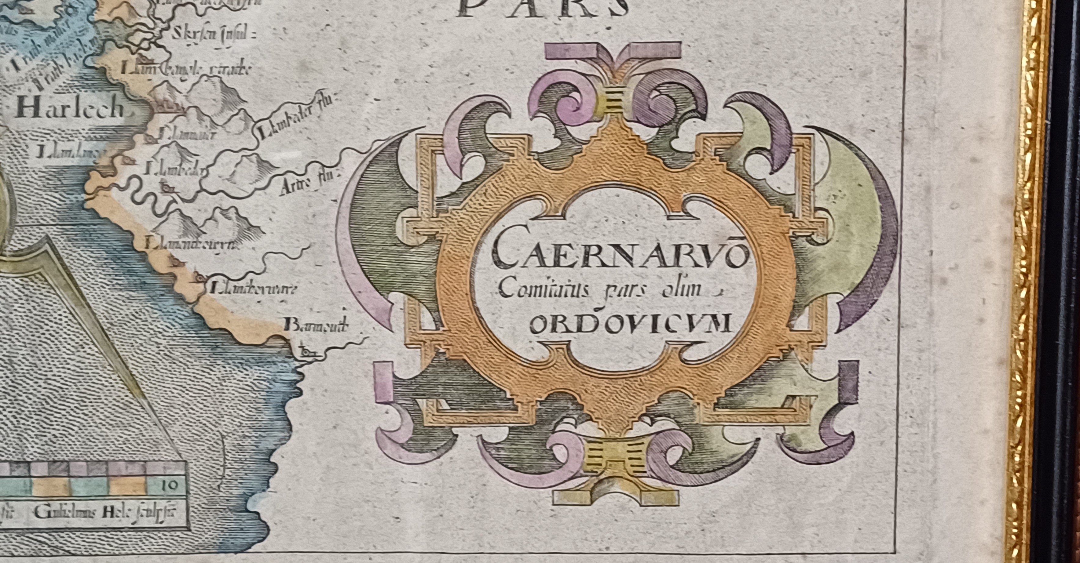
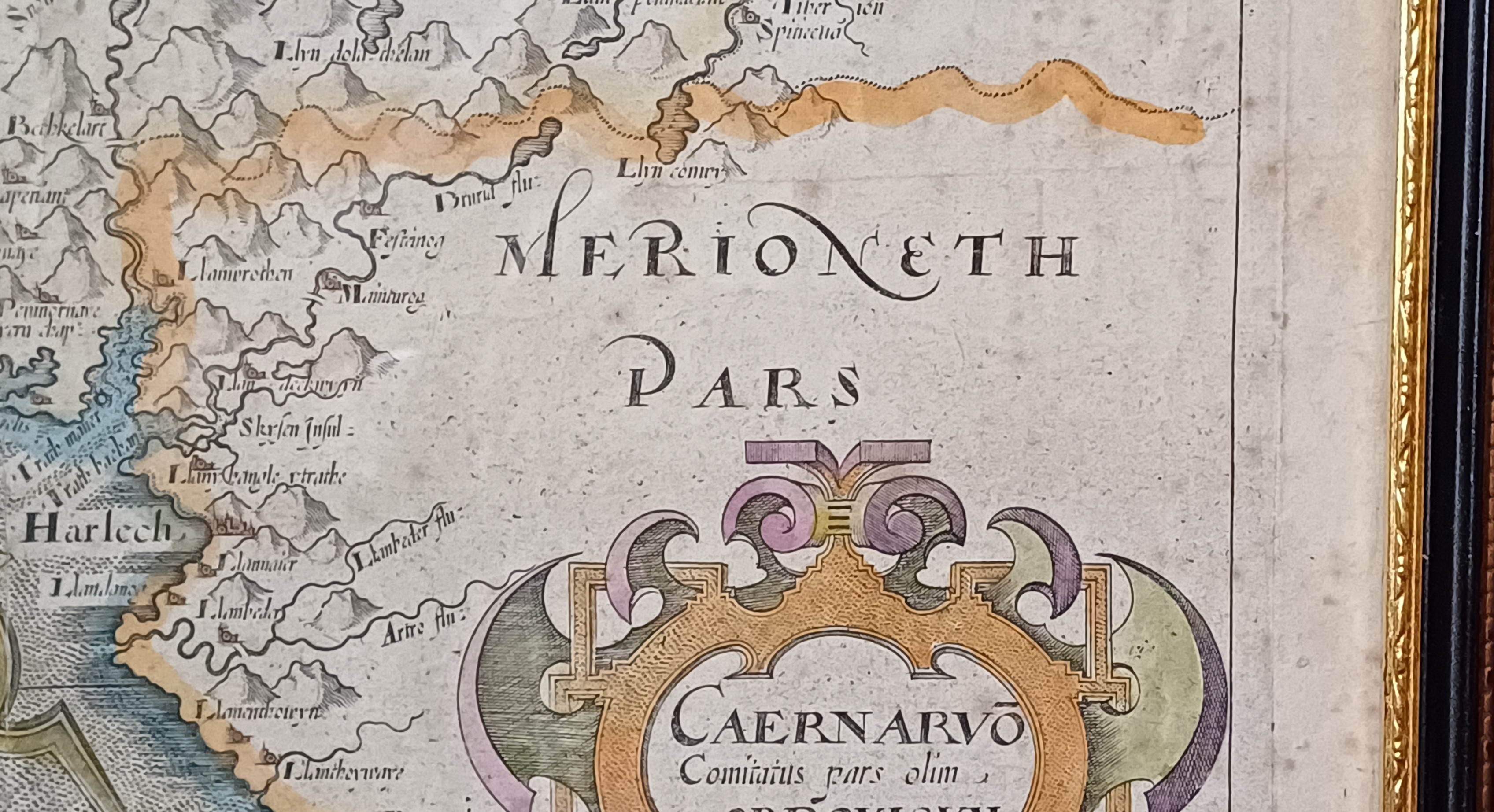
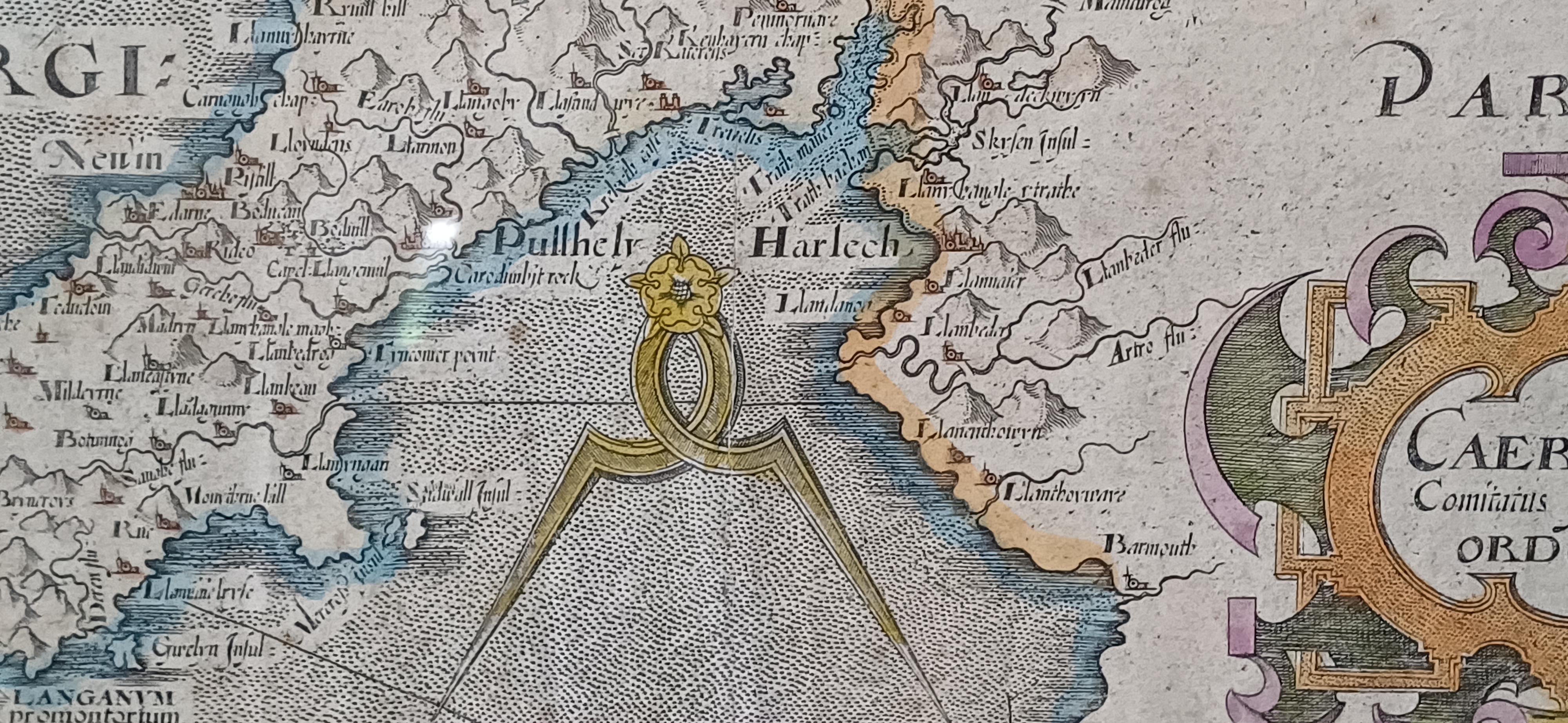
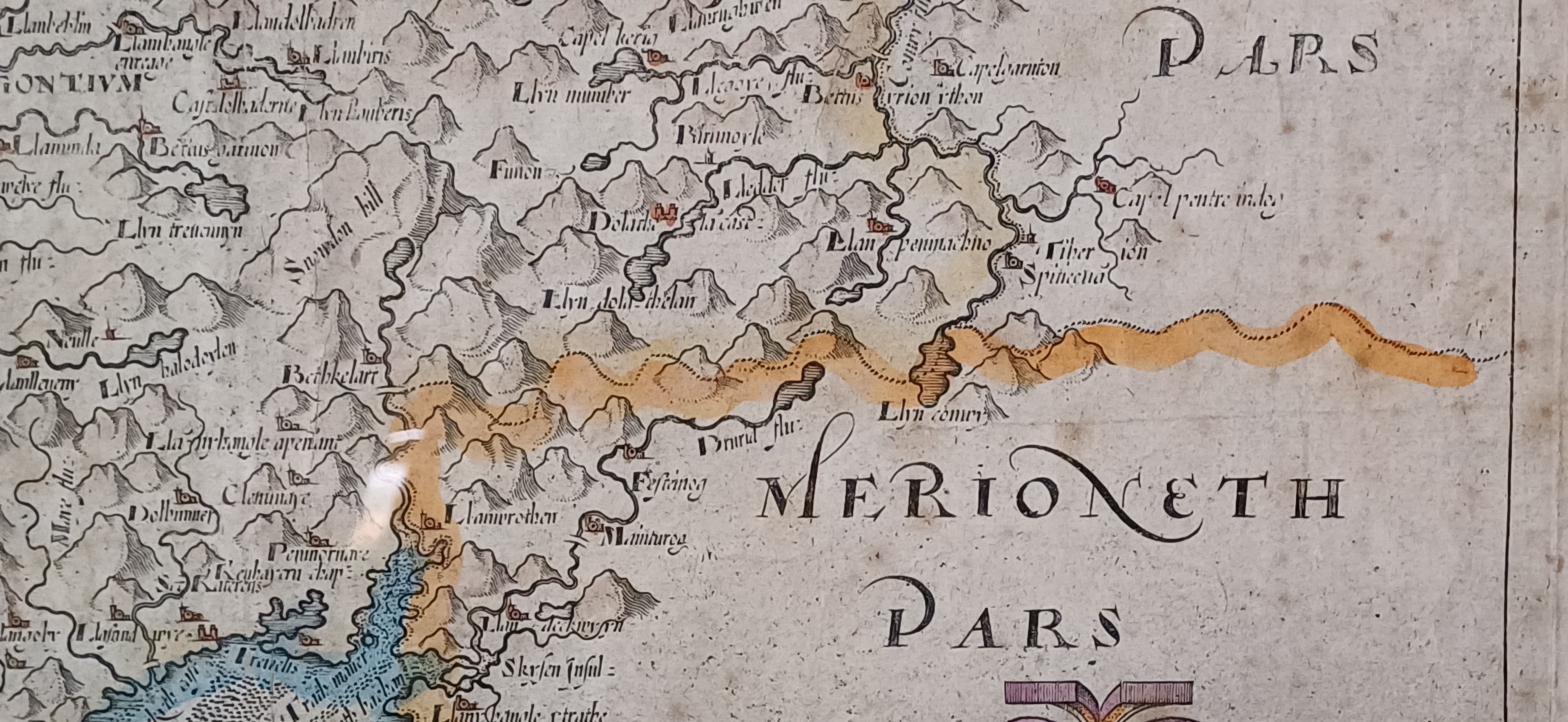
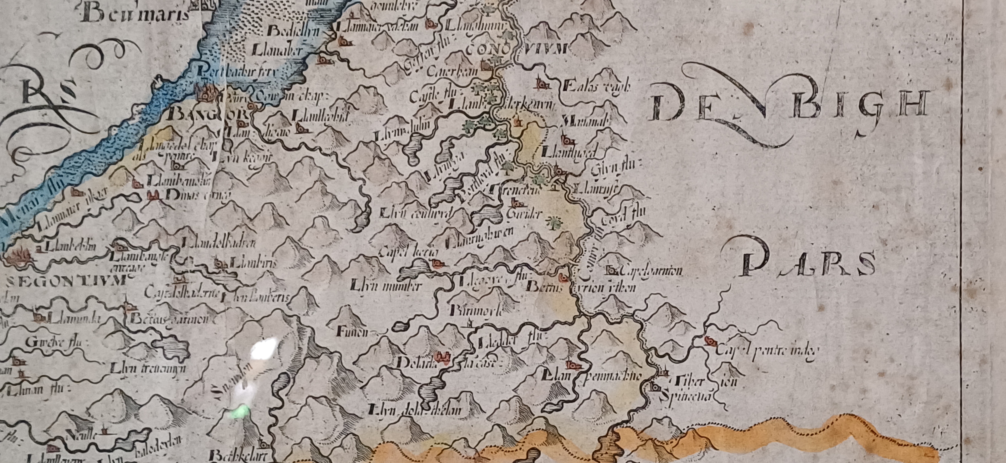
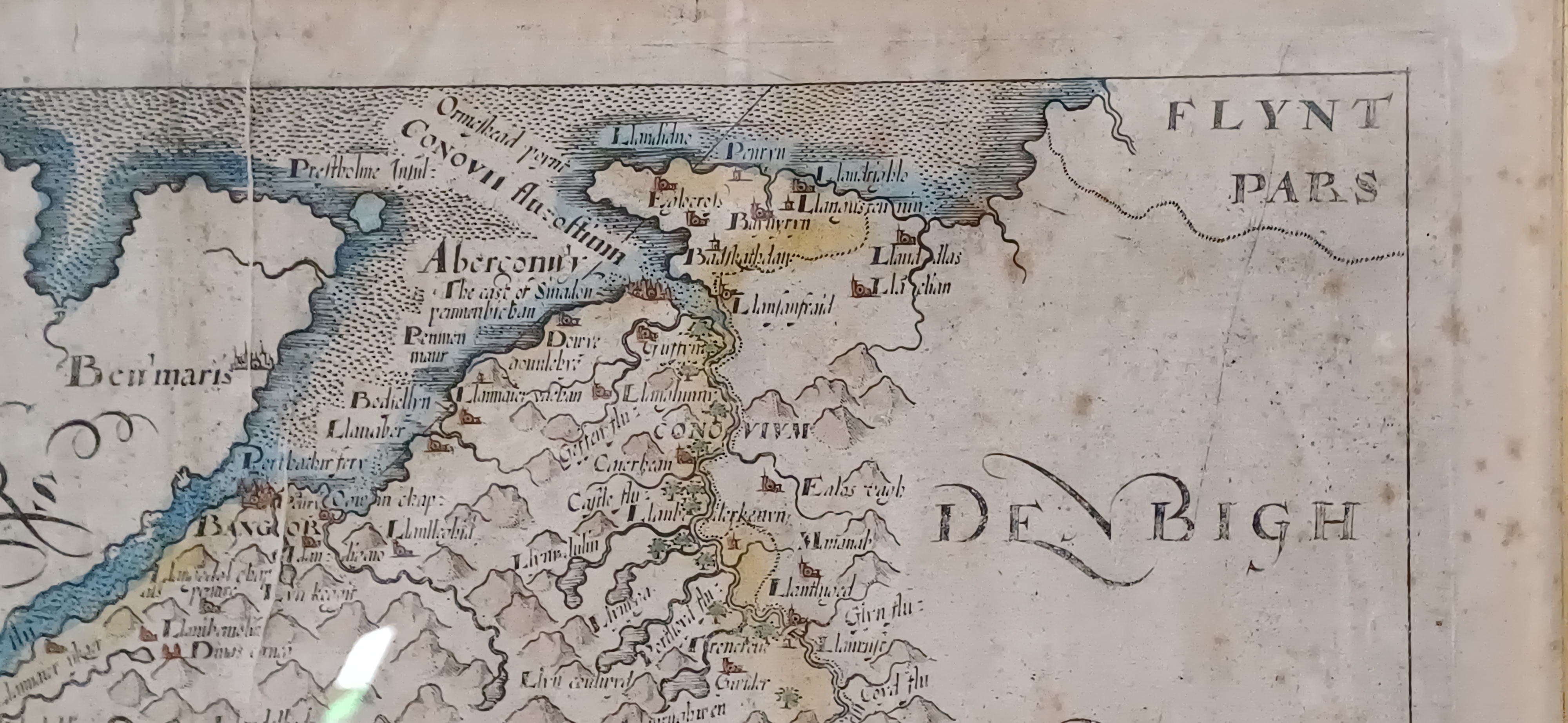
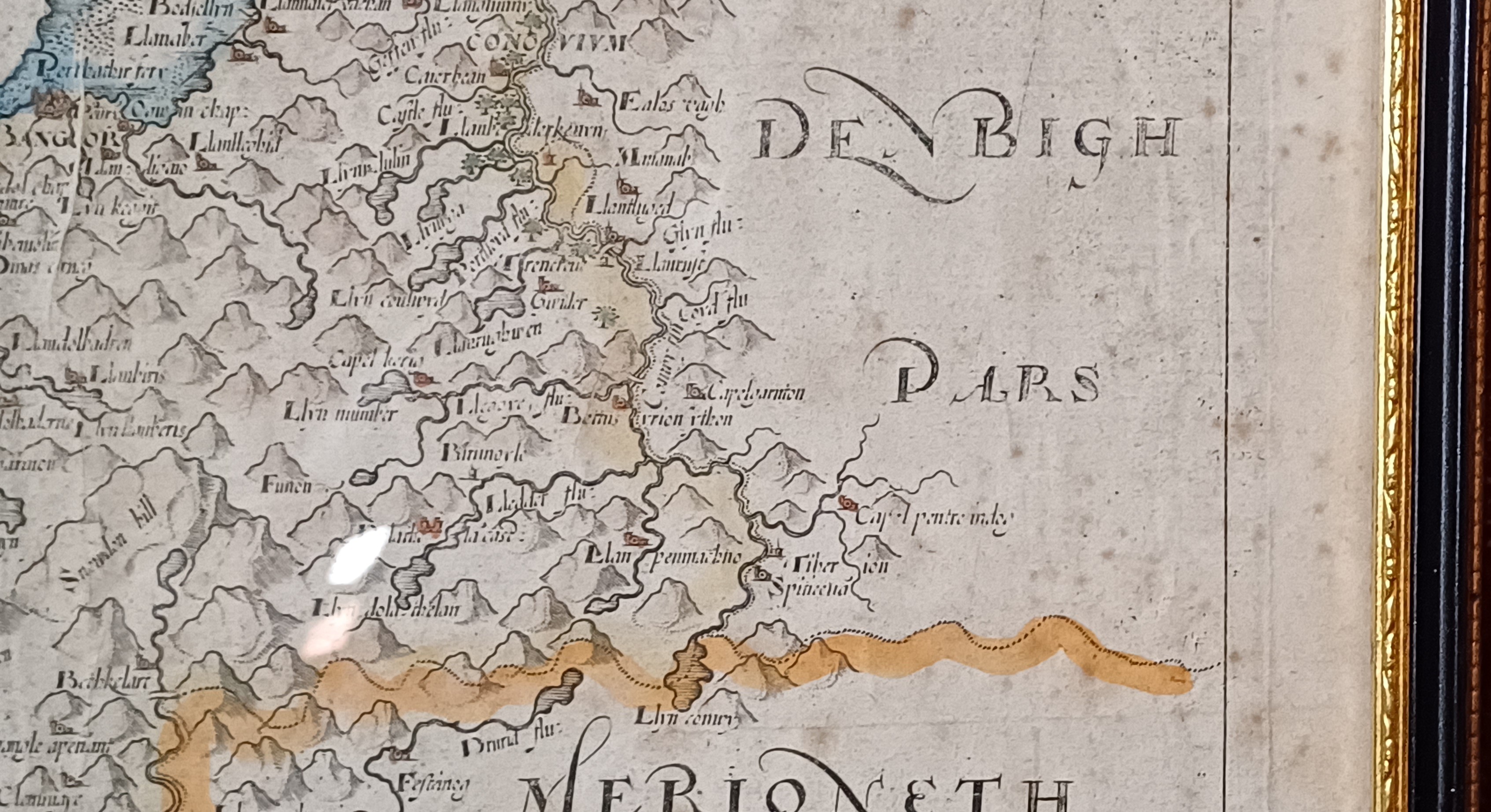
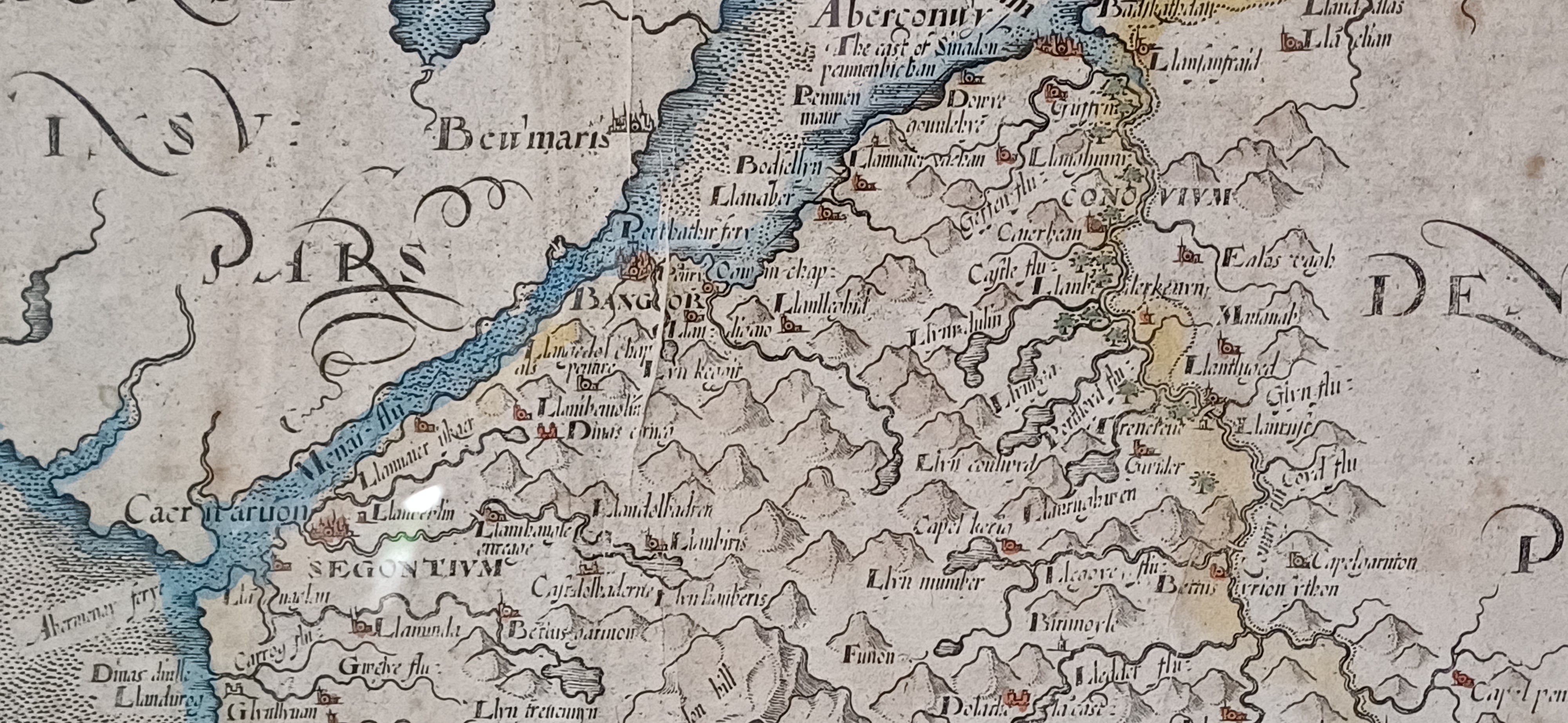
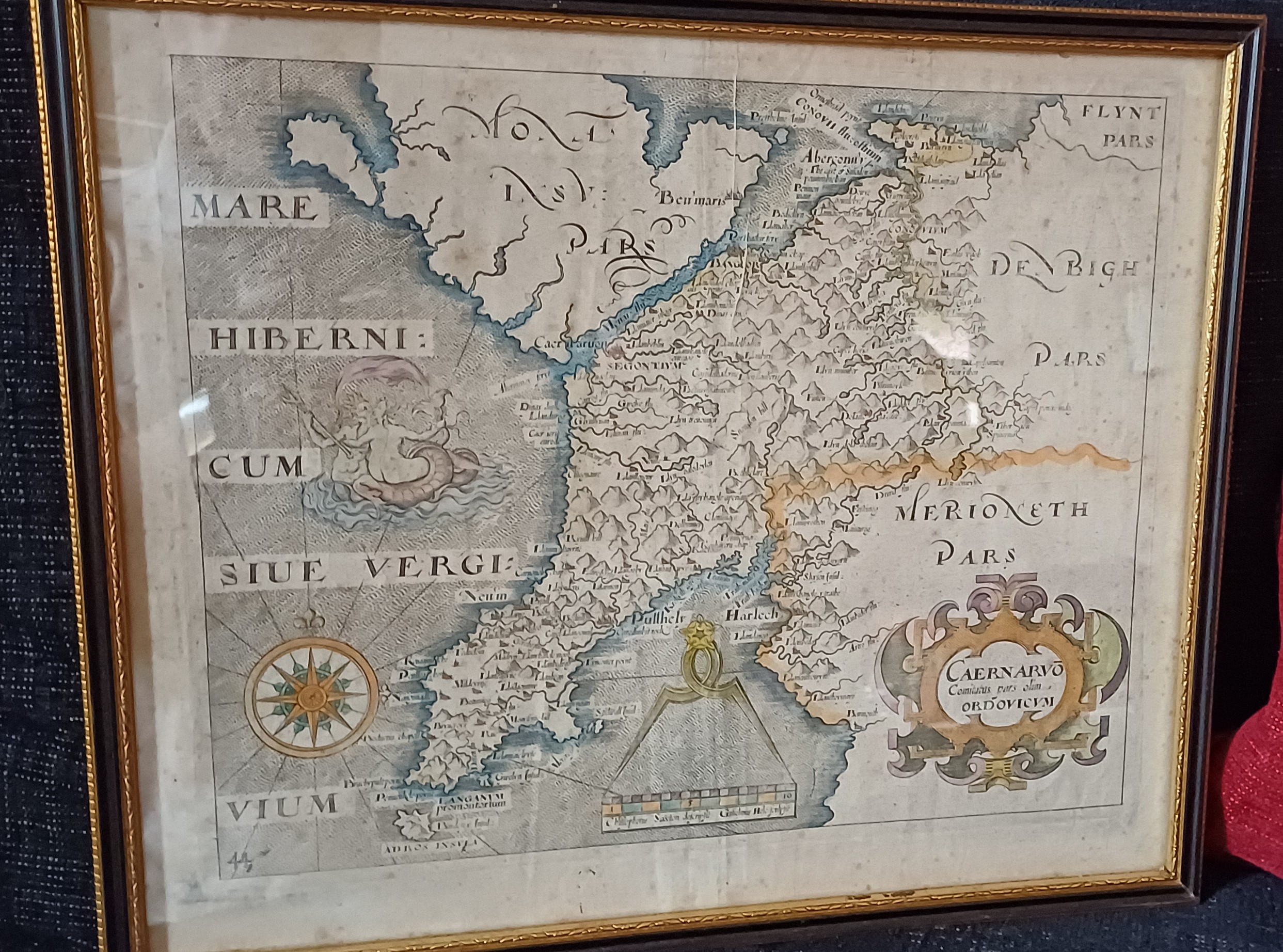
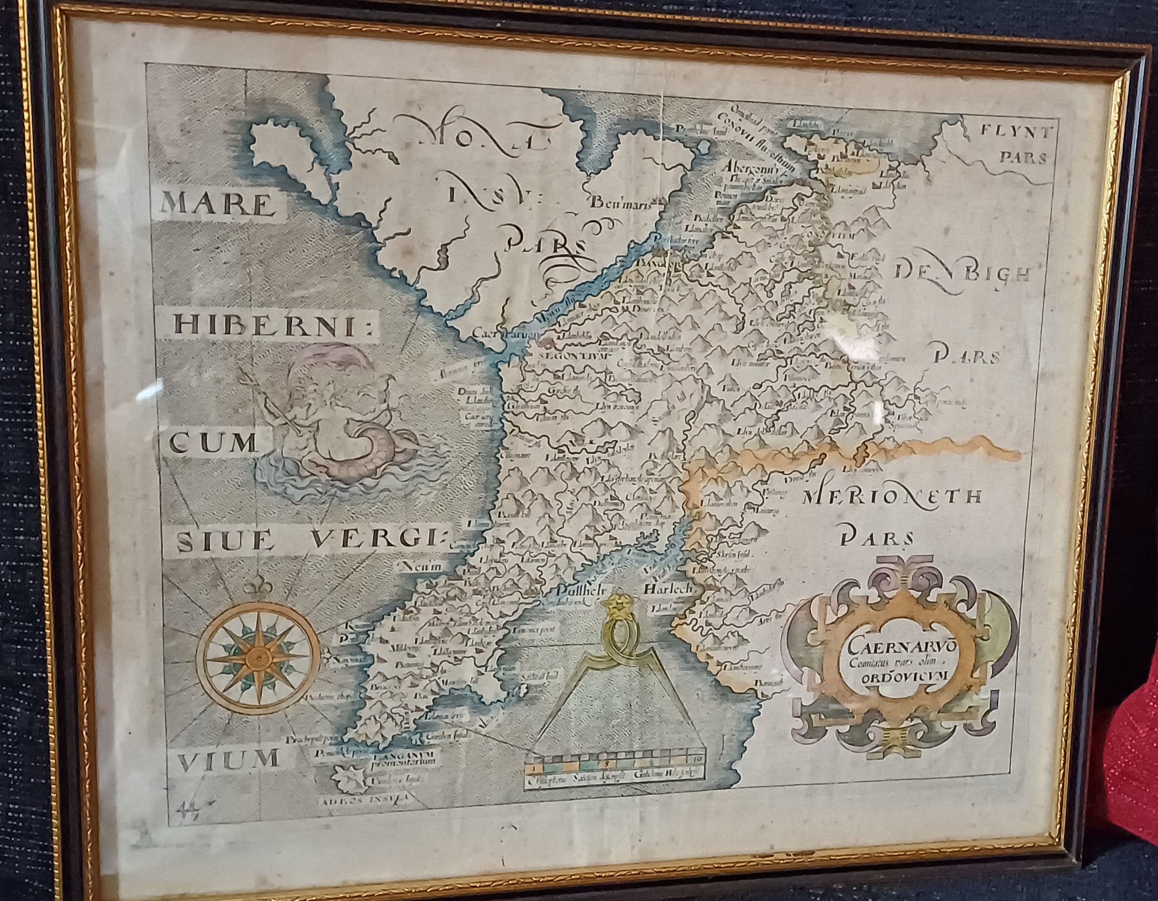
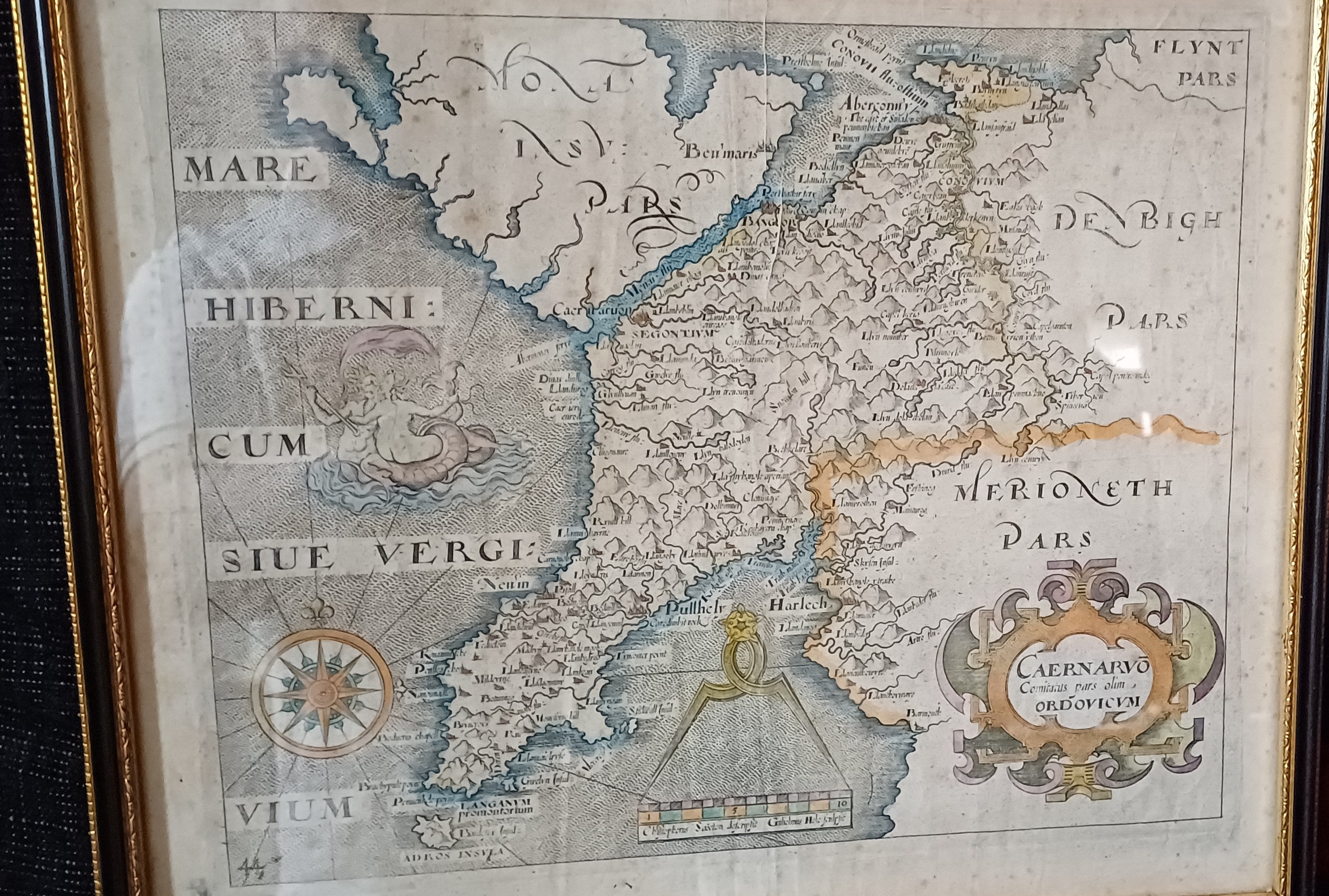
Map of Caernarvonshire – Based on Saxton's 1579 Map, Reduced by William Hole for Camden’s Britannia 1637 Edition
This item has been viewed 747 times
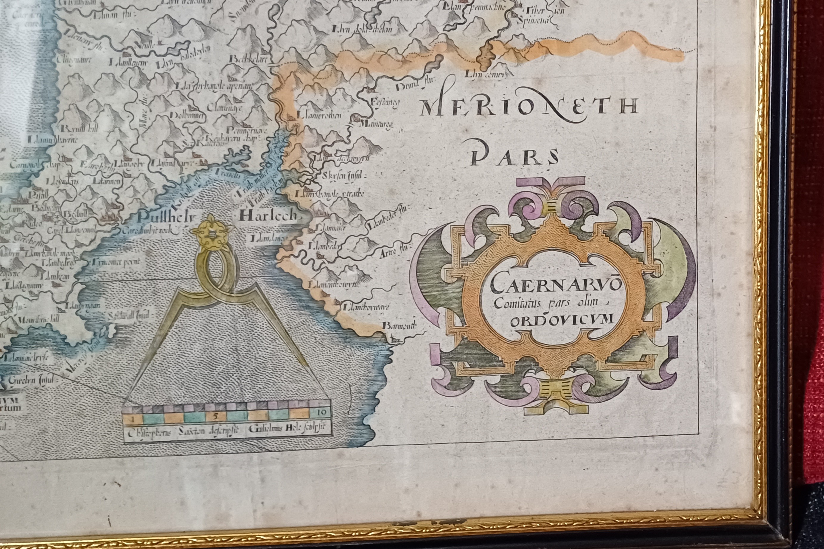
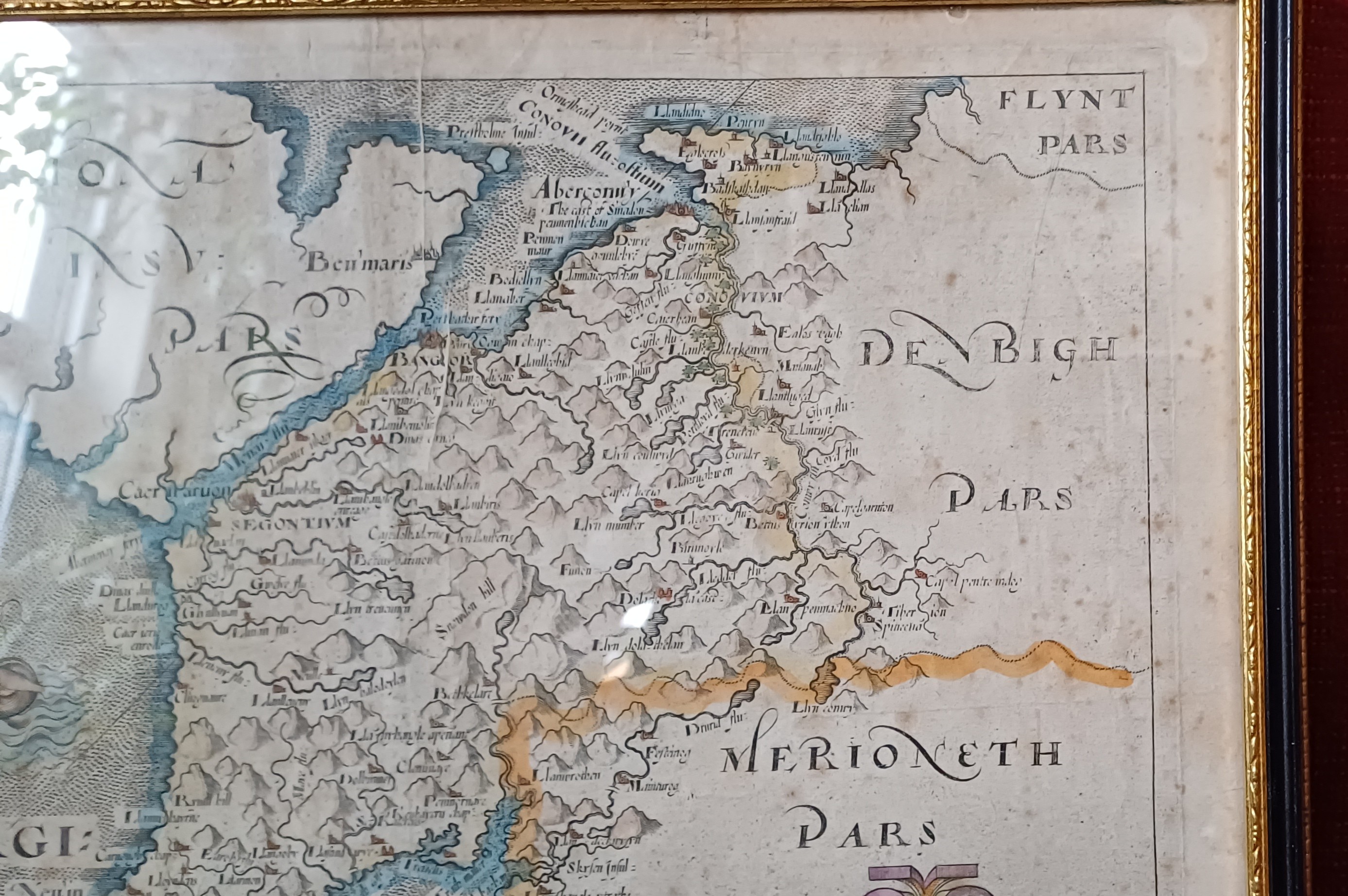
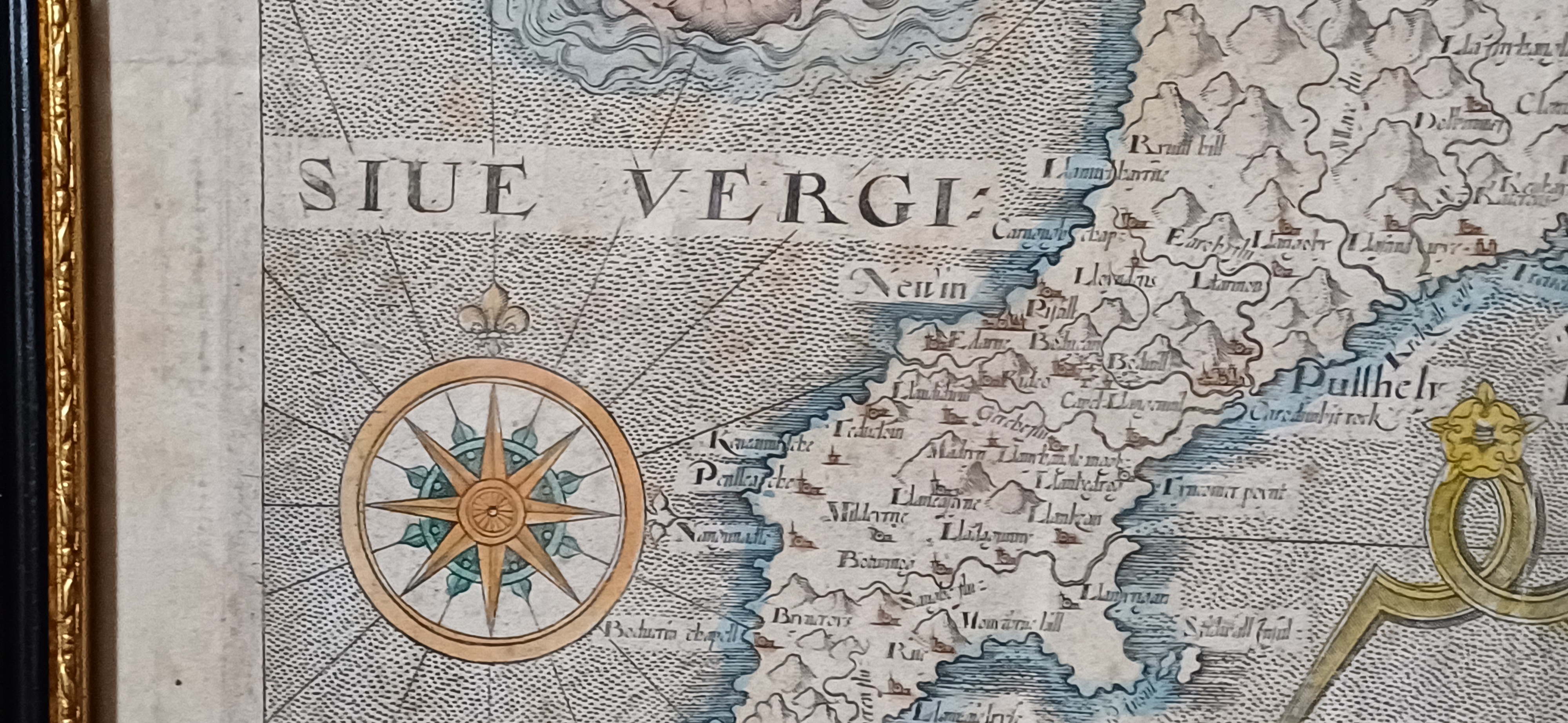
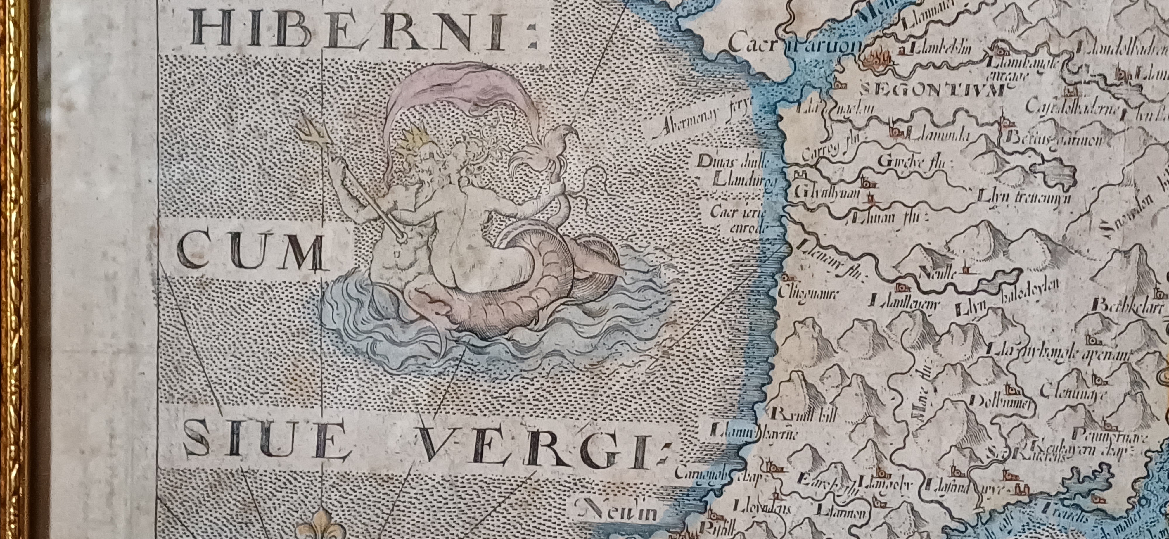
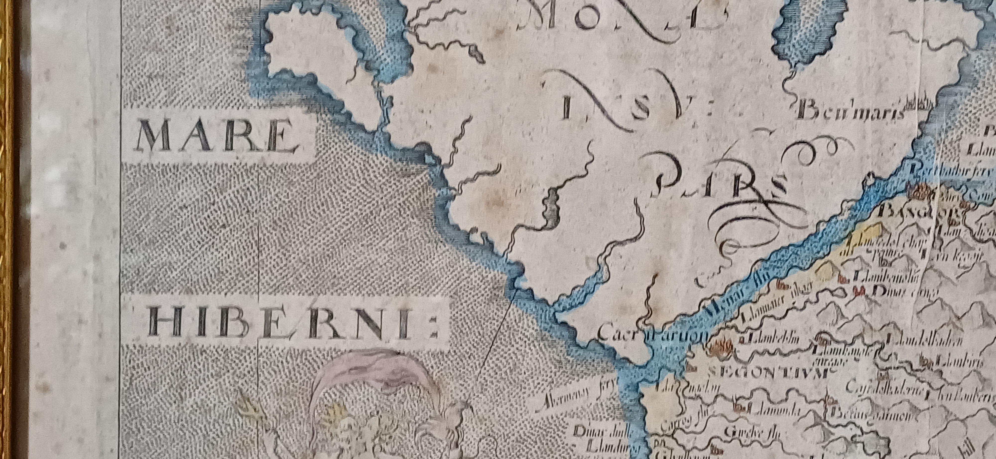
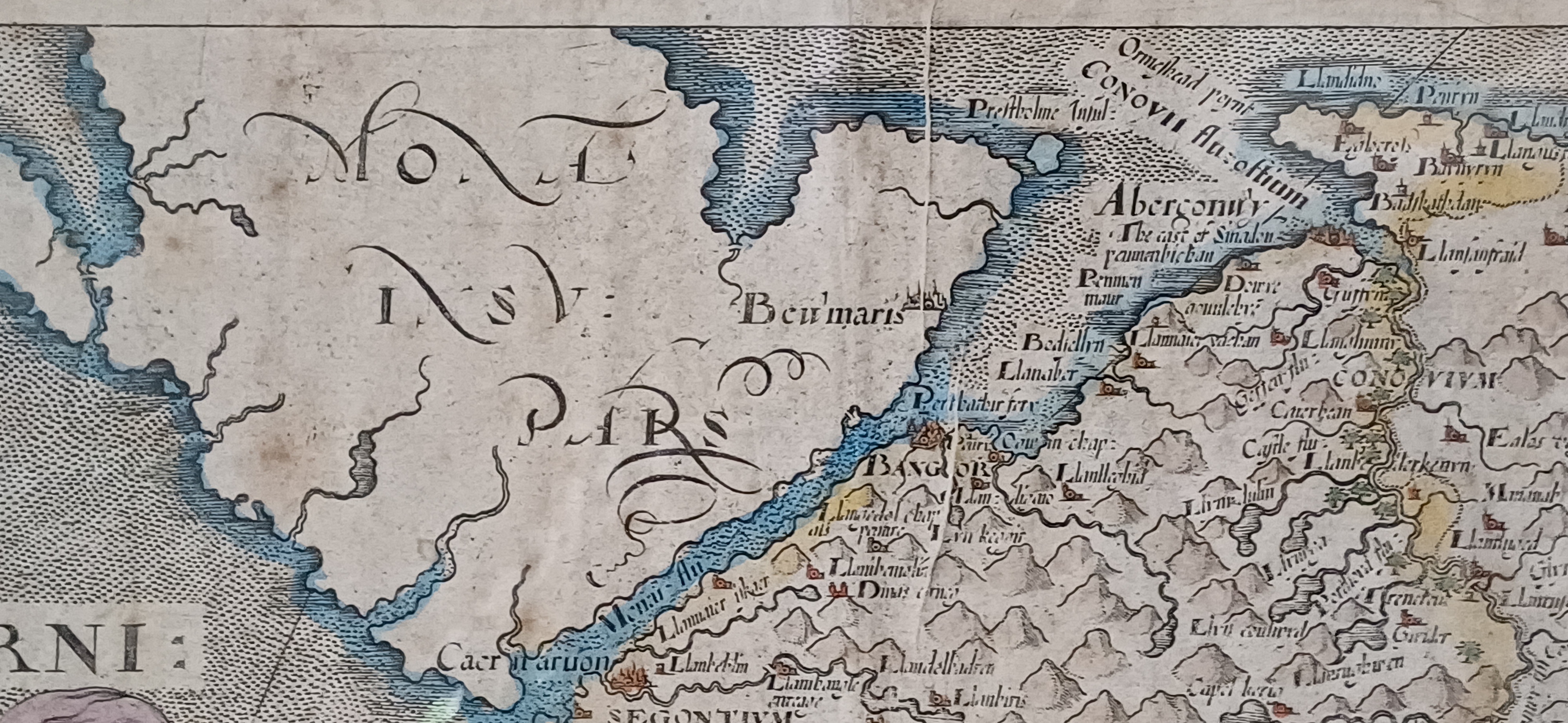
This map of Caernarvonshire is the earliest available single-sheet representation of the county, based on Christopher Saxton’s 1579 map but reduced in size by William Hole for the 1637 edition of William Camden’s Britannia. Britannia, Camden’s monumental geo-historical survey of Great Britain and Ireland, was first published in 1586 and quickly gained popularity. Inspired by the success of Saxton’s county atlas, Camden began planning to include maps in his work by 1589. However, it wasn’t until the sixth edition in 1607 that Britannia featured a full set of county maps. These visual additions revitalized the publication, making it a standard reference in libraries for centuries. Later editions continued to appear into the early 19th century, though the maps were eventually replaced by newer versions. The maps from the 1607, 1610, and 1637 editions—commonly referred to as the Saxton-Kip or Saxton-Hole maps—offer collectors a rare chance to own the first or second printed map of many English counties. Typically published in black and white, some editions were hand-coloured at the time, though this is quite rare. In Saxton’s original 1579 atlas, Caernarvonshire and Anglesey shared a single sheet. This arrangement was retained in van den Keere’s miniature atlas around 1605. However, the version included in Camden’s Britannia marks the first time Caernarvonshire appeared independently on its own map sheet.
- Map size: 10” x 12”
- Frame size: 14.75” x 12.5”
- Price £245.00 inclusive of shipping to within the UK